Home Base Wisconsin
If you don’t know who Lawrence Welk is, you are a cottonheaded ninny muggins.
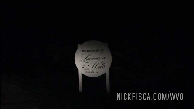
We ended up getting into the Homestead area about 3 in the morning. Not really the best time to visit the place, but we didn’t have the time to dick around until the sun came up.
So we meandered around the grounds, checking out any placards or information that we could read on our own. Kind of amazing this dude came from such humble beginnings.
Welk went from barnyard babes to champagne ladies. Oooh la la.
Glendive was the last stop on our 2018 trip during daylight hours.
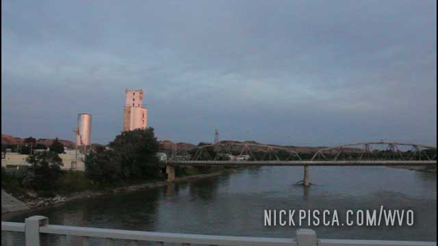
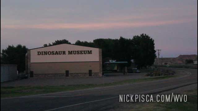
On one of our previous WVO road trips, we visited this “Dinosaur” Museum. It’s a creationist museum where they try to merge the Jurassic and Bronze Age eras. The staff was rather rude, and because we didn’t spout off the usual creationist talking points, they proceeded to follow us around as if we were going to steal their Noah’s Ark Diorama. News flash: we didn’t.
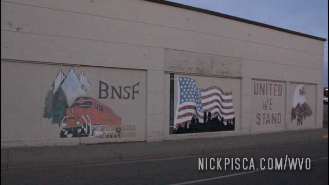
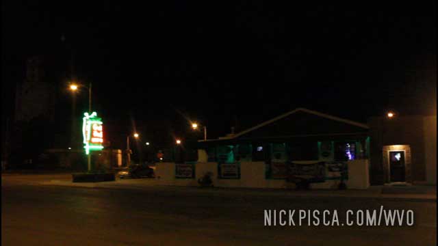
Everything was shutting down, so the only food we could find was at the Gust Hoff bar. Not a bad place actually.
Off to Wisconsin!
Right around here, a bee flew into the driver’s side window and jammed into the crease between my glasses and my cheek. It stung me right away. It was a bit of a ‘crisis,’ because when I was a kid, I was allergic. And I didn’t have any medicine with me.
Thankfully, my good friend Glenn had some Benedril and I survived.
If we would have been on the show “Ice Road Truckers,” this ‘crisis’ would have been a season finale cliff hanger.
It was getting hotter and hotter, so we stopped at a tiny general store in Montana. We were hoping to find a ice-chest full of popsicles or ice cream to devour. As we turned off the van, we heard a tire hissing. This isn’t atypical; most of our trips are tens of thousands of miles long, and a popped tires is to be periodically expected. However, no matter how much we stroked the tire, we couldn’t find the leak. For an audible leak, we should be able to find it easily.
After a few minutes and several locals inquiring about us crouching near the van, we found the problem: the rear AC line had a hole rubbed in the line. SHIT! If it was loud enough to hear, then it’s a TERRIBLE leak.
We figured at this point, it was too much effort to access this metal line on a roadside repair, so we’ll just have to rough it until we get back to Wisconsin. Then we could take the tire off, front shock and mounting bushings out of the way, so we could access this framerail-mounted AC line better.
Glenn has a thing for Ghost Towns and Petrified Forests. So we drove into the abyss…
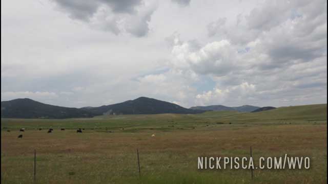
We stopped in at a bar and asked the locals for suggestions on things to see. Some women suggested we get ass-raped in a nearby ghost town, named Giltedge. Jumping to the opportunity, Glenn insisted we investigate this area. I still don’t know if he genuinely wanted to see the old buildings or if he wanted to felch his haunted cum out his butthole.
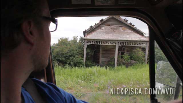
Anyway, we drove to where the maps suggested this Ghost Town existed, and we found some abandoned buildings. IDK. It was interesting, but not really worth the drive.
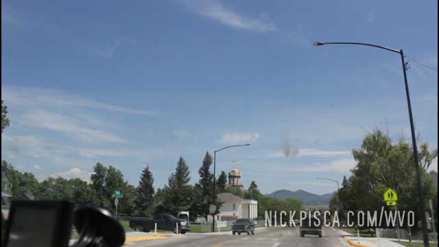
Lewistown is a pleasant place along highway 87.
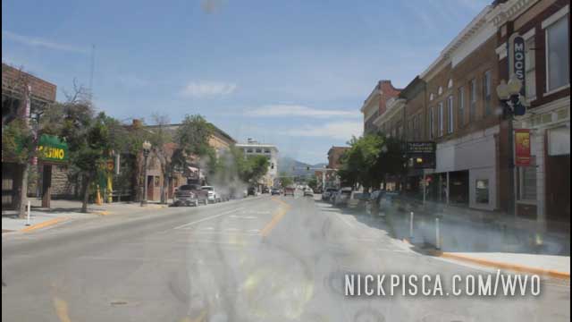
The downtown looks like something out of an old west movie.
We visited the Central Montana Museum to get out of the heat. Our AC was busted and it was getting annoying driving around in a 100-degree van in July.
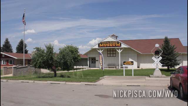
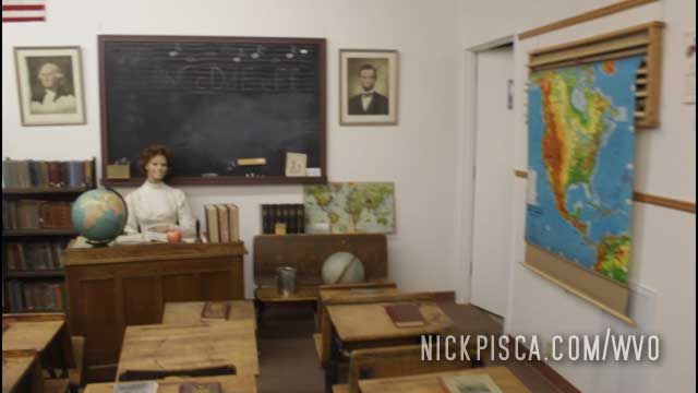
I’m 99% sure I had that exact same map on my wall in my room when I was a kid.
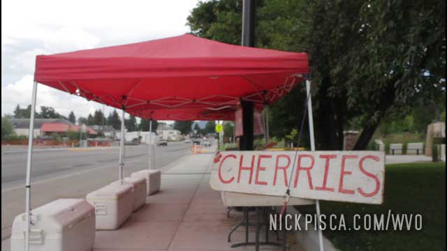
Now that we were stateside, we could get some fresh fruit and vegetables without worrying about the border patrol getting their panties in a bunch. I was long overdue for some fresh fruit. I was constipated since the massive meat meals we ate in Tuktoyaktuk.
The Judith Basin Country Sign.
“The Judith Basin occupies a central place in Montana’s history. For centuries, the lush grasses of the region attracted large numbers of buffalo, antelope, and deer. The abundant game, in turn, drew Indian hunting parties to this area. By the late 1870’s, the Indians had been confined to reservations outside the basin and most of the buffalo were gone. Montana cattlemen moved into the area in 1880. By 1885 cattle grazed in this valley. Outfits active in the area were the Judith Cattle Company, the renowned Davis – Houser – Stuart (DHS) Ranch, and Conrad Kohrs and Nick Bielenberg. Artist Charlie Russell, who gained much of his early experience as a cowboy here during the 1880’s, later captured the area’s rich and colorful history in some of his most famous paintings. After the cattlemen came the homesteaders, many of them drawn to this agricultural fertile area by the marketing of the Great Northern and Milwaukee Road Railroads.”
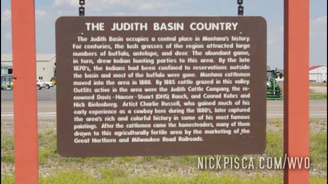
To summarize, the native people were displaced, wealthy people moved in, the indigenous wildlife was exterminated, and let’s stop worrying about what happened prior to 1900.
Heading south back to the States. Haven’t had a rest since our breakdown in Fort Nelson British Columbia.
On our southbound trip in 2018, we had a transmission problem that forced us to limp the van back to Fort Nelson for repairs.
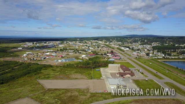
We got into Fort Nelson in the middle of the night. Since it’s not very safe to drive at night on the Alaska Hwy, we found a section of road on the south side of town to park and rest until sunrise. When the sun risen, we fixed the windshield and took some drone shots of the city from the side of the town. Then we filled up the tank and headed south, hoping to make it to southern Alberta by the next day.
However, about 80 miles south of Fort Nelson, we started getting overdrive surging as we slowed the van down. Eventually, it started surging all the time. We turned off the GVOD and hoped to find a spot where we could fix it on the side of the road. Perhaps the fluid was low or a wire is loose. We didn’t know.
Gearvender overdrives are finicky items. We needed to find a wayside that would allow us to drive up and out without reverse. If the GVOD binds, it won’d allow reverse, so we had to wait for the perfect turnout. Eventually, we found a two-exit turnout on the side of the road. We parked the van and chocked the wheels, just in case the overdrive slips.
We checked the OD. Bad news. The tailshaft seal had been compressed (by the driveshaft pounding the anus of the tailshaft) on the 800-mile washboard trip on the Dempster. That constant tapping wore the seal and it allowed most of the GVOD oil to leak out.
We drained the OD to assess the existing oil. It was dirty and low. We collected every ounce we could and tried to crudely filter it.
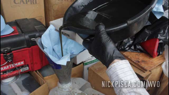
I always pack extra gear oil and a spare tailshaft seal, but this is a job that will take a lot of finesse. That means working on it in a place that isn’t gravel and bear country. We replaced the filtered oil and used the rest of our synthetic Lucas oil just to get it back to Fort Nelson. We booked a hotel and got all the extra supplies would could get before the night arrived.
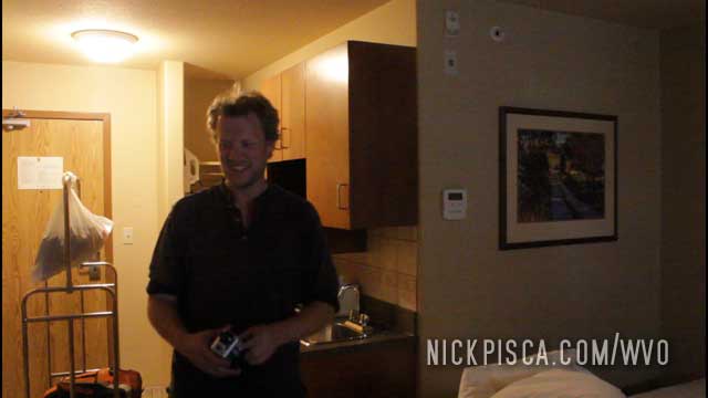
The next morning we replaced the tailshaft seal and glow plug fusable links. Also, we found the grounding out that occurred on the GP wires, and put new insulation on those wires as well.
Since we couldn’t find Lucas oil (Gearvender INSISTS on Lucas oil, even though if you read their instructions from the 80’s, it just calls for non-slip oil), we found some NAPA-brand oil that claimed to be non-slip. Or maybe it was limited slip… IDK. I gotta find that documentation.
We bought all the oil we could find, just in case we ended up having another GVOD problem later on the journey. In hindsight, we were extremely fortunate we broke down where we did. If we had broke down just 12 hours earlier, we would have been stuck right in that stretch of the Alaska highway where there were three dozen bears in 50 miles.
57.540570, -122.939406
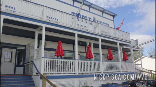
On our southbound journey from Tuktoyaktuk, we pulled into Dawson right around 7am. We were sick of eating microwaved food in our van, so we elected to get some grub from Dawson’s Triple J Hotel. Not bad food. I could have used some spicier salsa on my breakfast burrito, but it’s Canada. Their specialty is syrup, not salsa.
We’ve only driven to the NWT twice. There are only a handful of roads that allow this.
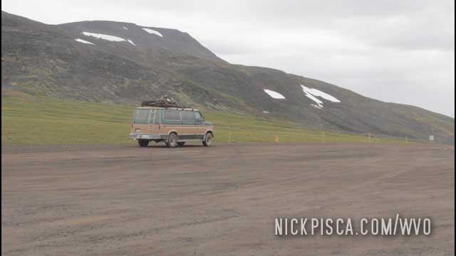
Along the Dempster, there is a monument denoting the border.
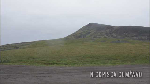
It’s basically on a pass in the middle of nowhere. We didn’t see another soul for hours.
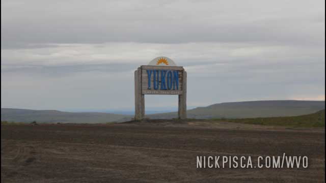
On the way back south, this the sign you see. There as snow on the ground everywhere, and it was raining. I suspect there are places around here that the snow never fully melts all year.
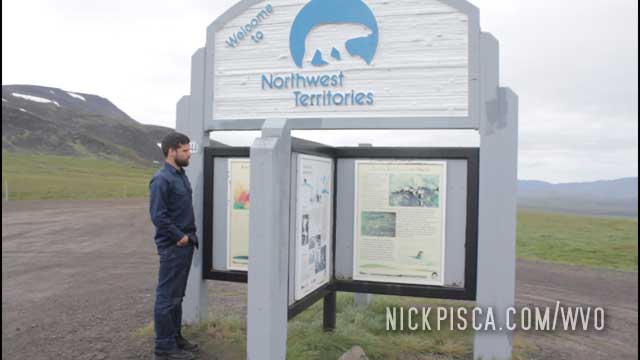
The Dempster is so bumpy, that it literally rattled our bumper off our van. It rattled the Grade-8 mounting hardware off the top bumper mount, and that allowed the bumper to hang forward. It allowed more pressure to rest on the opposite frame rail, and that created a torque to rip the frame mount apart. Due to metal fatigue, that ripped completely through, and the bumper hung down just above the gravel roadway. We caught it before it got even worse, when we stopped for the ferry on the Dempster. As we waited for the ferry to arrive, we made a temporary fix to ratchet strap the bumper until we could get it more permanently secured.
This town is not really set up for tourists yet. There are only a few tour guides and places to stay, and there are no restaurants. However, there is one entrepreneurial family selling muskox burgers, muffins, and granola bars out of a tent. IIRC, it’s called “Tyson’s Burgers” and he’s grilling up around lunch time. A woman in the tent sells the best granola and muffins with local berries she’s collected on the landscape.
We ended up buying something like 20 granola bars from her and plenty of burgers and muffins. She was confounded on someone could request so much food. I think their culture has a different consumption standard than what we are used to.
Muskox burgers were tasty. They definitely tasted oilier and different, but still good with cheese and toppings. I put a bunch of veggies on my burger and after visiting the general store, I probably ended up eating $10 worth of lettuce. Prices for vegetables up there is EXPENSIVE.
We took the rest of the food from Tyson’s Burgers with us for the trip back to Inuvik and Dawson City. We fought over those granola bars.
After we made it up to Tuk, and completed our touring, we had to fix things for the return trip.
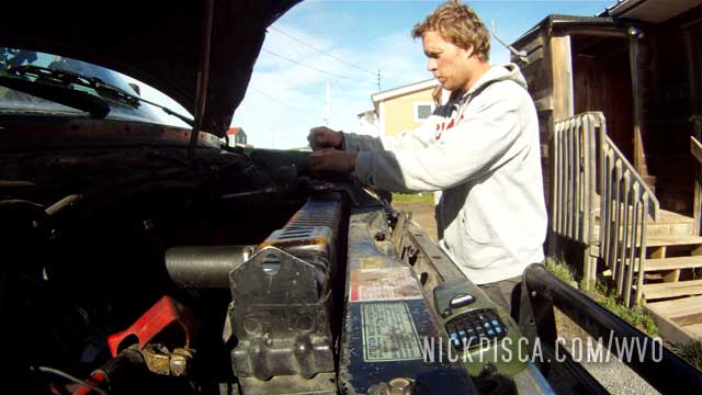
While we were in Inuvik, the glowplug harness shorted out. We didn’t know why (yet), but we tried to fix the fusable links with fuses. It didn’t work, but we tried anyway. We didn’t have much to lose.
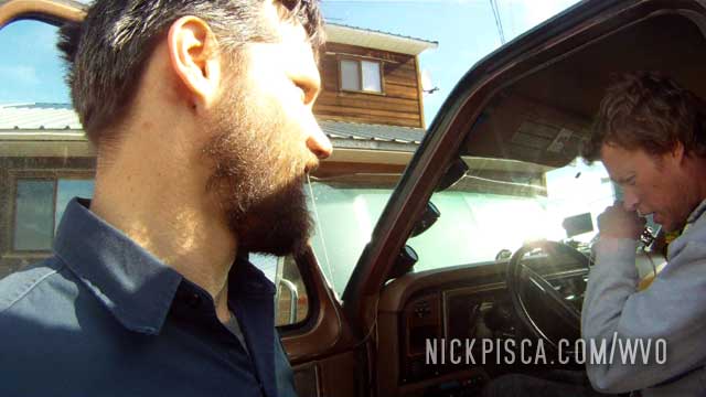
Also, we had to figure out how to get the beast started in such cold temps without GP’s. We ended up warming it up with a heat gun and also used some starting fluid. Until we were able to get some fusable links (the closest town to have any in stock was Whitehorse, a thousand miles south), we used this starting fluid to get it going for the duration of our trip in the NWT and Yukon.
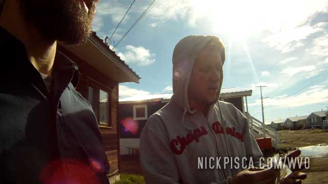
Also, we fixed other issues and fueled up the beast with WVO. Roger and Winnie wanted us to stay for lunch, but we had to hit the road ASAP. The ferries in Fort McPherson and Tsiigehtchic close late in the evening, and considering we have a several-hour drive ahead of us, we had to go.
We’d like to thank Roger and Winnie at Arctic Tour Company in Tuktoyaktuk for a great time, good food, wonderful company, and an exciting tour during our stay. Glenn and I said that if it had not been for their hospitality, we don’t think the rough drive of the Dempster was worth the trip. They are the main reason why we look back at this journey as a success.
When do you get the chance of a lifetime to swim in the Arctic Ocean?
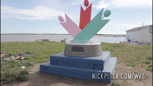
They have a neato monument designated at the end of the road.
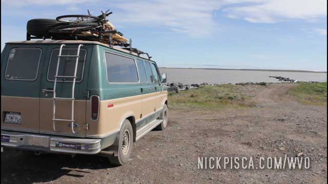
Unlike our trip to Prudhoe Bay Alaska, we didn’t need an escort to the Arctic Ocean. Here in Tuk, Canada, they let you drive your POS van right up to the shore line. Kinda cool.
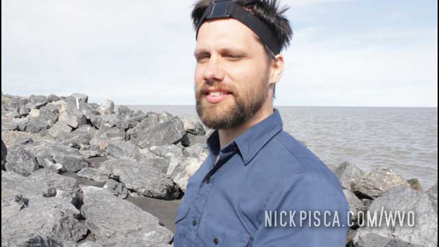
We scoped out a spot to take a dip. Our tour guide, Roger, told us to make sure to swim on the left side of the peninsula. Other tourists were dipping their toes in the right side, which was the fresh water bay, not the ocean. We didn’t drive this far just to dip our toes in the wrong water. We are GOING SWIMMING.
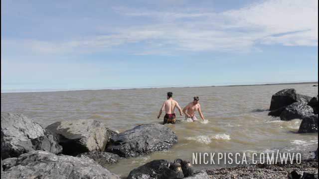
So… it was 29 degree water. There was ice in the water that day. And oddly, it wasn’t as cold at I thought it would be. We got in for a few moments, and then my legs started stiffening up. I pulled my arms and legs out of the water to see them purply and discolored. Glenn remarked, “Dude, we are literally freezing.” We got out after a minute or two, and rushed to the van to change into dry clothes.
Pretty cool.
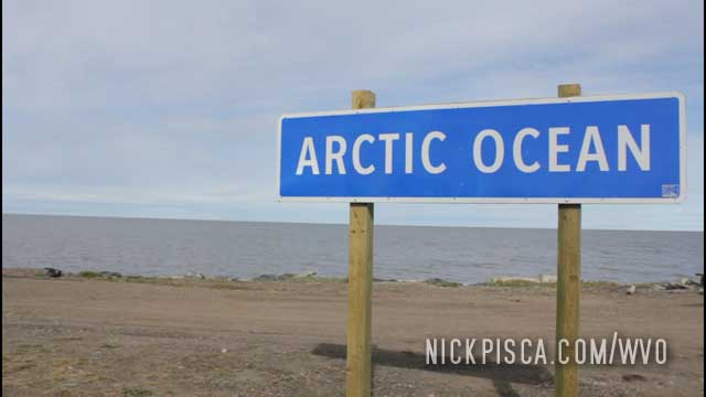
We made it!
Our Arctic Ocean tour culminated with a stop on a distant sandbar. This would be the furthest north we would be on this journey, and the 2nd furthest north ever on these WVO trips.
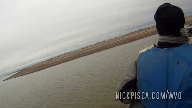
Hard to believe, but we arrived on this island about 11pm at night. Since we are so far north in July, the sun never sets. It felt like it was 4pm on a regular day in Wisconsin.
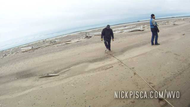
Roger’s nephew worked on the boat motor while we ventured out on the sandbar.
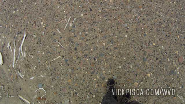
The ground was littered with smooth rocks, sand, driftwood, and various whale and animal bones.
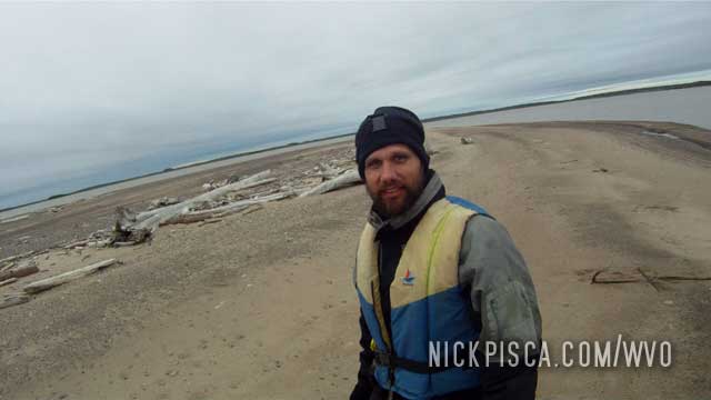
It was really surreal and special. And cold. That day, it was 38 deg F at its hottest point.
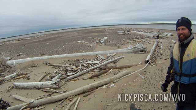
At a certain point that day, I pondered why we were wearing the life jackets. If we went into the drink, we’d die within a few minutes of hypothermia, so we might as well just toss the jackets. But then Glenn said that they were there so the coast guard could recover our bodies. LOL.
After visiting the Pingos, we continued our Arctic Tour Company adventure out on the open sea.
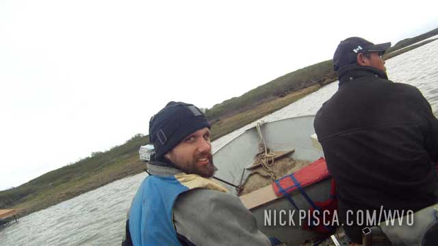
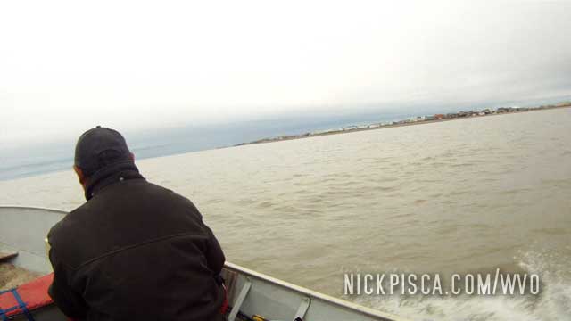
Roger’s nephew drove us out along the shoreline of Tuk. He pointed out a lot of sites along the way.
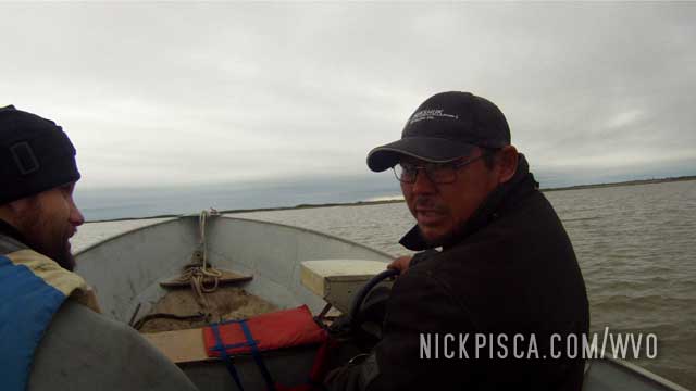
He spoke about how he goes whale hunting. We were kind of amazed. Glenn asked him where is he whaling boat. He said he does all the catching in that 15-foot aluminum boat we were in. Crazy! He was really comfortable being that far out to sea.
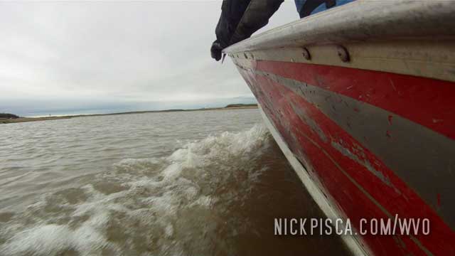
He took us pretty far out.
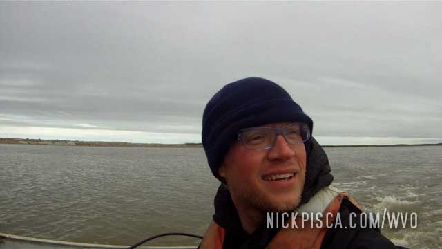
Eventually, the town of Tuk disappeared off the horizon.
Pingos are rare permafrost land formations that can get over hundreds of feet tall.
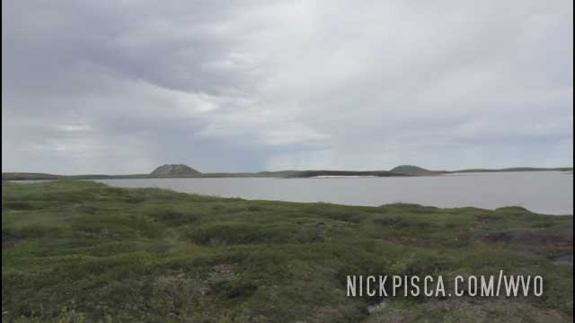
The only way to get to the Pingo Canadian Landmark is by boat. We connected with Roger and Winnie at Arctic Tour Company, and they hooked us up with a tour and place to stay. We got to stay with him and his wife personally. It was really nice.
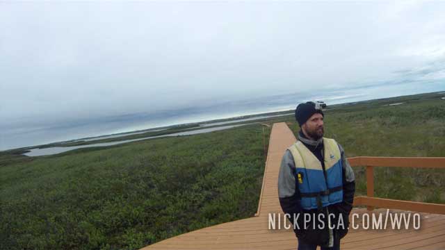
His nephew took us on the tour of the pingos. Once you dock on the neighboring peninsula, you take some newly constructed walkways to get a great vantage point of the pingos.
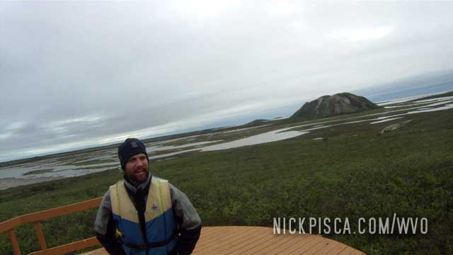
Tuk is one of the few places in the world where there are many large scale pingos. They only grew a few centimeters per year, so these are exceptional.
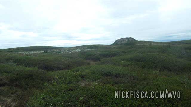
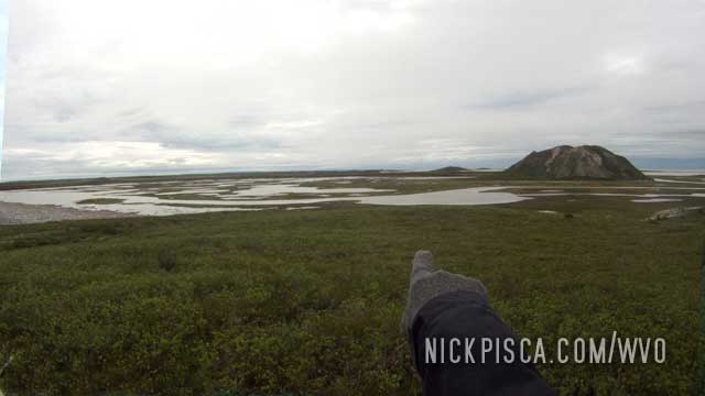
Hooray! We made it up to Tuk!
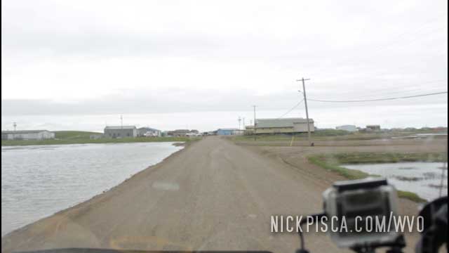
As we drove in, more buildings appeared. Nearly all the roads and dwellings are bounded by bogs, ponds, lakes, and rivers. And ocean.
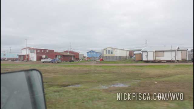
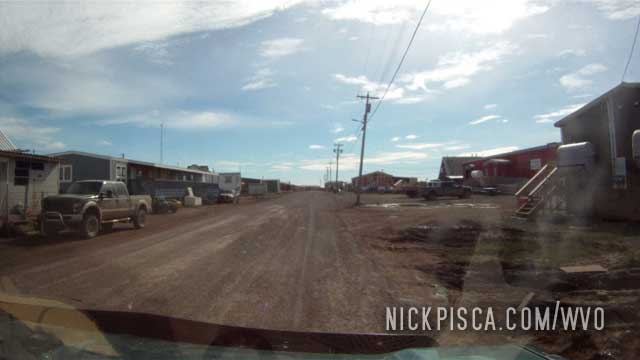
All the buildings are on stilts. If they are rested on a foundation in the soil, the heat of the dwelling will melt the permafrost underneath it, and it will sink like quicksand.
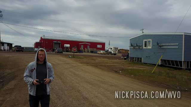
The red building (above) is the general store. It’s filled with some sparse groceries, and some EXPENSIVE fruits and vegetables. A bunch of grapes was $15 Canadian.
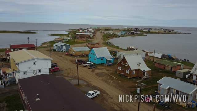
At the end of the peninsula is the access to the Arctic Ocean.
It was getting exciting as we approached the tiny town of Tuk. There were these bogs all along the path that made for an odd landscape.
Also, as we drove into town, there was a city dump to the left. From what I learned, every tourist to this town used to fly in prior to the completion of the Dempster highway extension. So now, this is the welcome sign. Poor city planning I guess. Something tells me they’ll fix this in the next few years if they are anticipating more driving tourists.
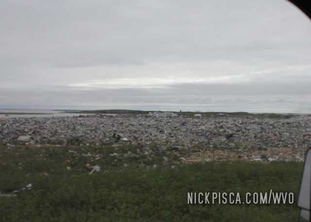
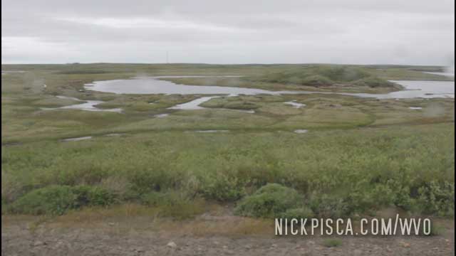
This section of road was finished just six month before, but due to the elements, it has been quite damaged.
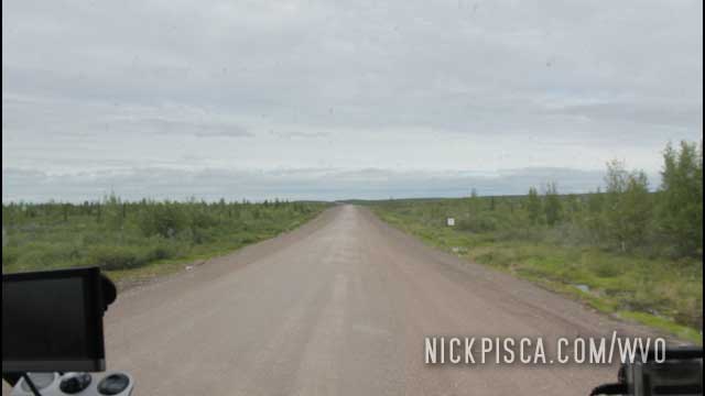
It rattled our van to pieces. At a certain point, the bumper rattled loose and due to metal fatigue, the frame mounts even sheered off.
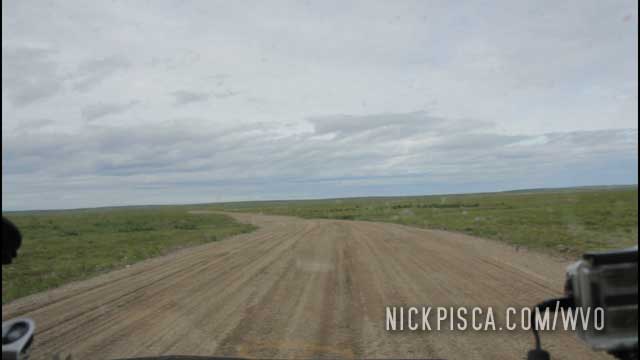
The tundra is an odd place. I read that the frozen ground is ice for meters and meters underground. So in the summer, it’s basically a bog with slush on top of icy dirt.
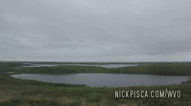
This makes driving very dangerous. For the most part, the ground it flat (thank Zeus) but in some places there is a slope. So in a lot of ways, it’s like driving on thick mud, water, slush, and ice.
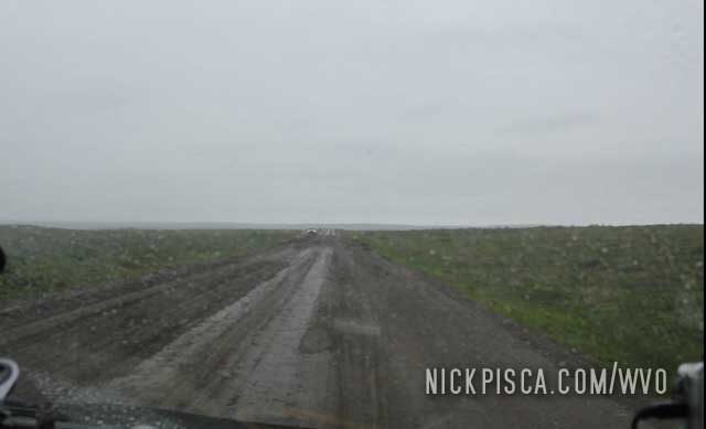
On the day we drove in, it was 34 degree F in July. It even snowed and rained.
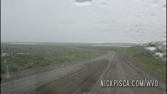
It was white-knuckle driving the whole way up and whole way back to Inuvik.
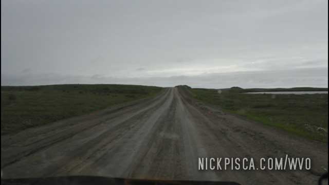
Even though it was a gamble to drive up to Tuk, it was worth it. However, unless the roadway is improved, I probably won’t voluntarily drive this again.
As we left Inuvik, we were excited to finish the last stretch to the town of Tuktoyaktuk. However, as we drove a few miles up the road, there was a sign claiming the highway was closed. We knew the road was closed for repairs up until a few days ago, so maybe the sign was old. We didn’t know, so we drove back to Inuvik to ask the authorities on if it was safe.
They called the NWT travel authorities and the RCMP, who both couldn’t confirm if the road was open, but they thought it might be ok. Another person with some knowledge of the area claimed “I think I saw a truck on it the other day.” They were calling the road construction contracting company to see if they approved, and didn’t get a solid answer.
In the end, we elected to give it a shot. We figured we drove over 4000 miles to get here, and it would a shame to give up now. If we brake down, then we’d have to walk back to Inuvik or Tuk (whichever is closer) and hope we don’t get eaten by polar or grizzly bears in the process.
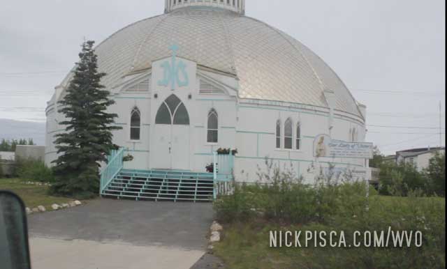
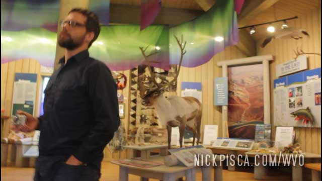
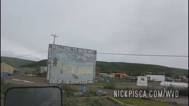
Inuvik is a fairly large town considering how far north it is. It has a few thousand inhabitants. As you drive into town, there is this interesting domed church on the right, and also, they have a nice visitor center/museum nearby.
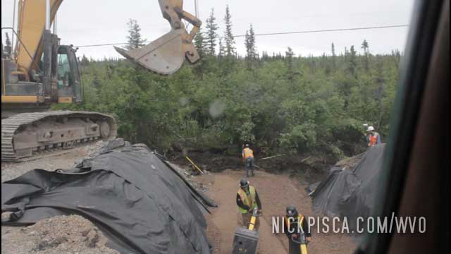
When were were preparing for the trip, we learned that the Dempster incurred severe wash-out damage. We were gambling that all the damage would be repaired by the time we got up there in the summer. Turned out we were cutting it very close. Here was a crew working south of Inuvik on a section of road that only allowed one-lane of cars to pass. As you can see, there isn’t a guard rail.
Just a few dozen miles up the road is the next Dempster Ferry near the town of Tsiigehtchic.
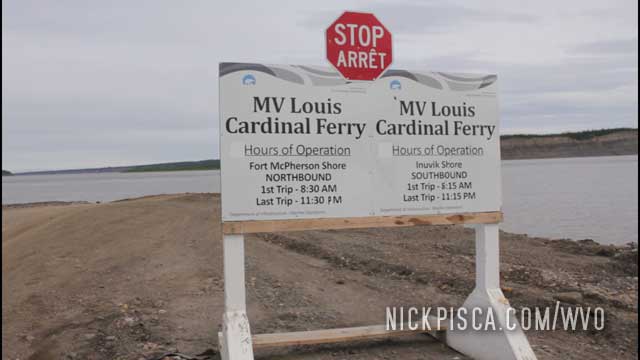
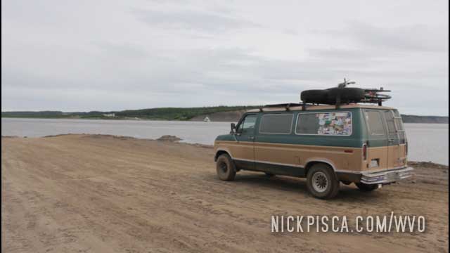
We didn’t get a chance to investigate the town while we waited for the ferry. There isn’t a road to the town. Instead, the ferry performs a triangular transfer path, stopping the southbound dock, northbound dock, and eventually the city. We didn’t want to drive to town, just to see their 6 buildings and then wait for the 1-hour roundtrip for the ferry to return.
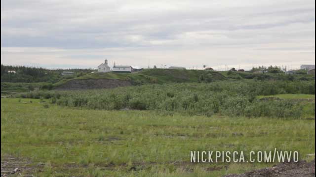
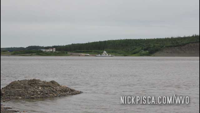
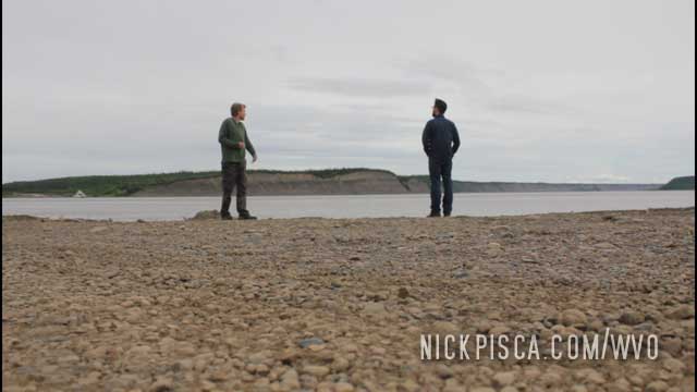
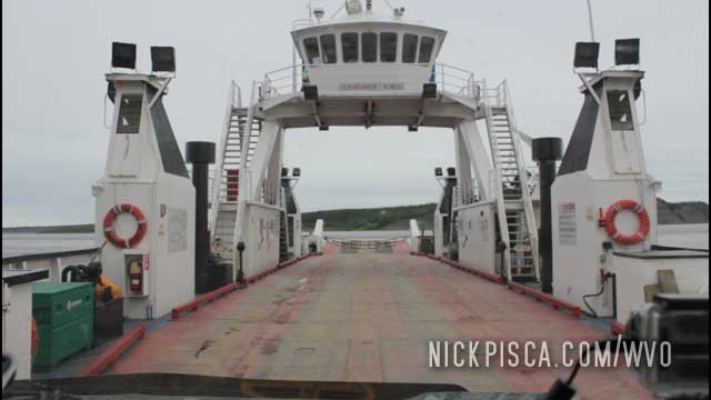
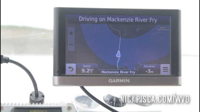
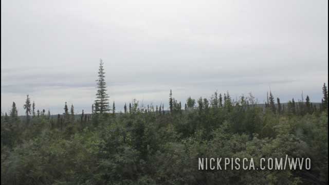

As we drove further north, the topography starts to level out more, and the trees are more sparse. In the middle of nowhere, there is a functioning ferry that is open something like 12 hours per day. It’s odd to see fellow humans this far north.
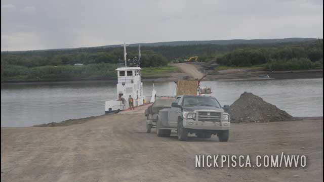
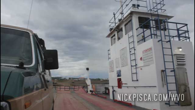
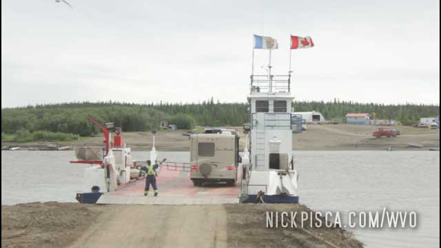
After we crossed the river on the ferry, we stopped in at the tiny town of Fort McPherson. The town has a small population of First Nation people, and we saw lots of kids running around.
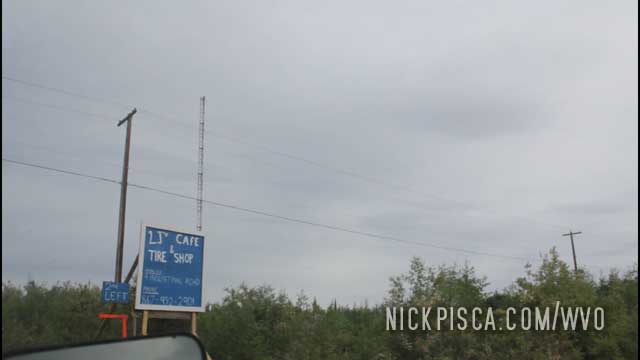
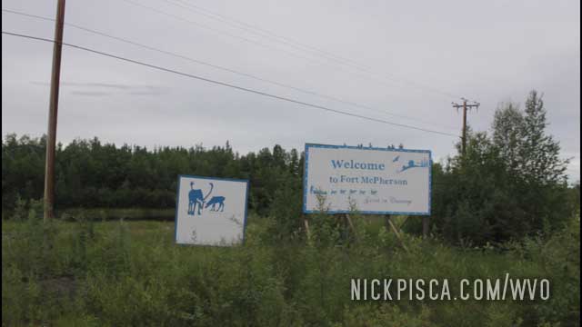
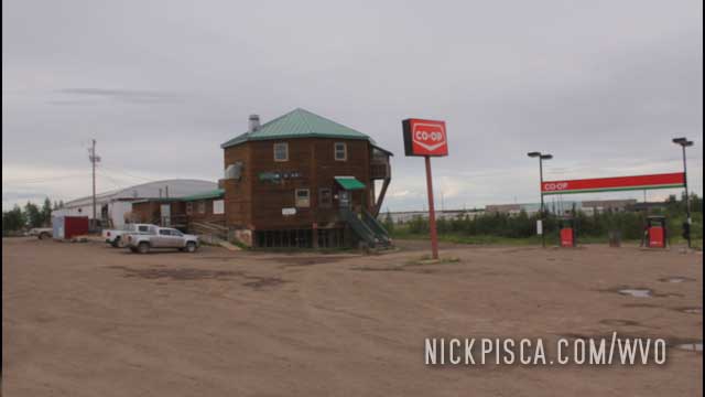
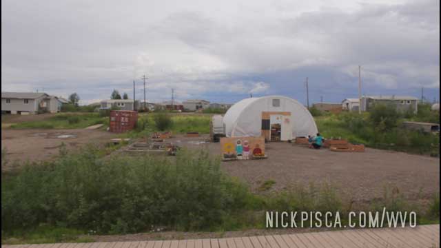
After a some time in town, we headed further north to Tsiigehtchic.
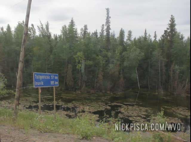
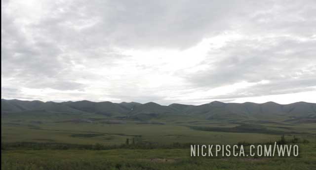
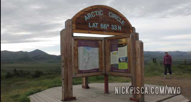
Surprisingly, there were a handful of people camped out at the wayside near the Arctic Circle sign. For the majority of the drive, we didn’t see a single automobile, except for a semi or two.
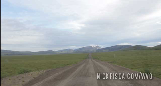
We are getting to the point now where no tree can survive at this latitude. It’s all basically just scrubby brush and grass. It’s like being on a green moon.
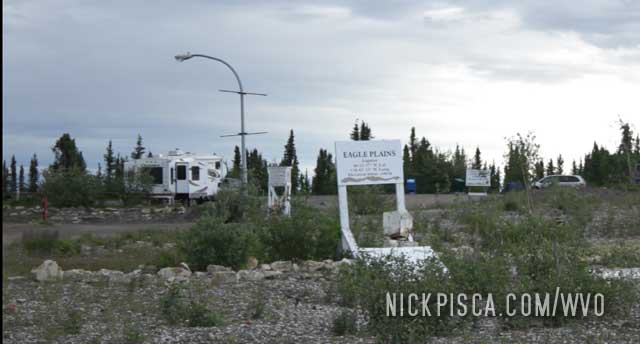
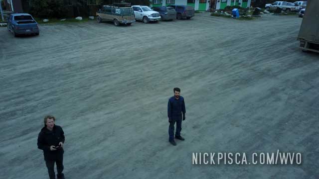
Eagle Plains is the closest thing to the “Old West” that I’ve ever seen. There are no services on the Dempster, except here. They have a lodge and some amenities, and for a hefty fee, you can stay here if you were passing through. It is not a town by any stretch of the imagination; only a few buildings atop a hill.
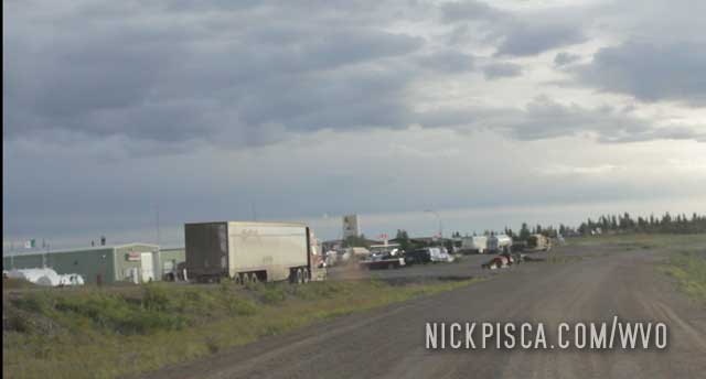
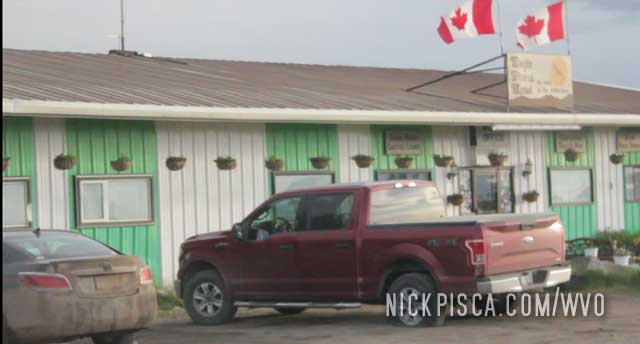
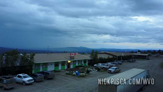
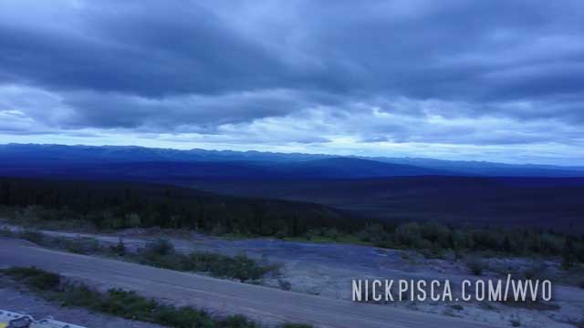
The Dempster is hardly a highway. It’s basically a 1- or 2-lane gravel road that goes on for hundreds of miles. The roadway is riddled with pits, potholes, and washboard bumps. The first hundred miles is some amazing scenery. Since this is right around the Arctic Circle, the tundra restricts the growth of the trees and it’s really an alien landscape.
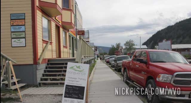
Dawson is a fun town. They try to keep the style of the place like the ol’ Klondike gold rush days.
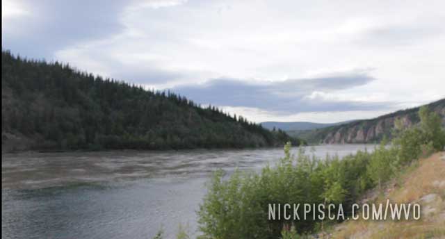
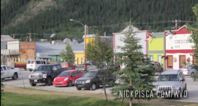
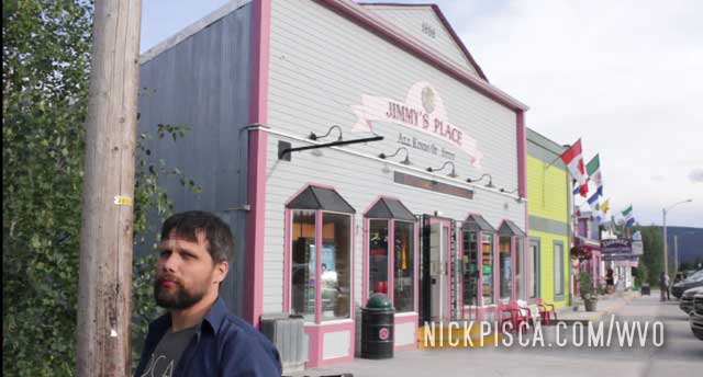
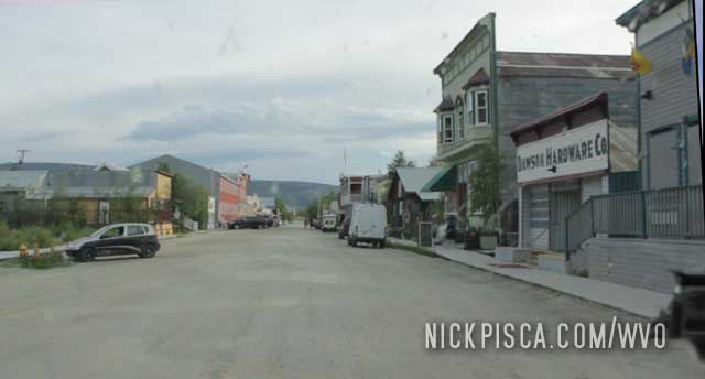
Ain’t nothing like waiting 5 minutes at a stoplight with no opposite traffic for 250 miles to make your day.
We have some great friends up in the Yukon that are biofuel advocates. They have helped us on all three of our trips through the Yukon Territory, in 2008, 2013, and 2018. We are very appreciative of their generosity.
While driving up to Whitehorse, we saw these Mastodon sculptures on the hill.
2013:
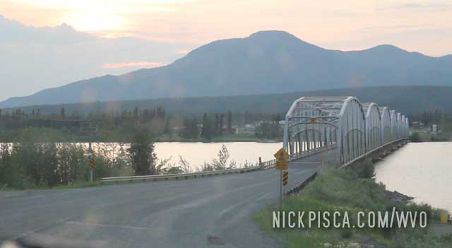
2018:
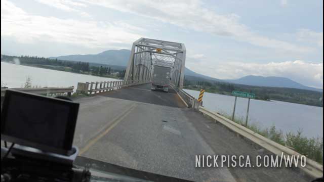
Now that I compare the photos, you can really tell 2013 was a hot year with lots of forest fires. There were some major fires in Alaska and the Yukon that year that made the air all smokey. Sunsets were remarkably red that trip.
We’ve been to Watson Lake a half dozen times now. The first time was in 2008 when we cruised through with the Jetta after a hail storm.
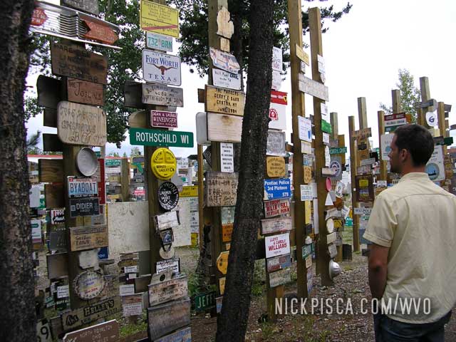
The next time was in 2013 with the Veggie Van. Here’s a pic from the good ol’ days:
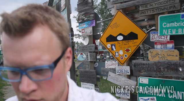
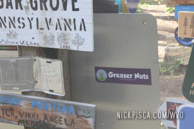
I miss that shirt. Back on that day in 2013, we put a Greaser Nuts bumper sticker on one of the signs. Anyway, back on topic.
The latest time we visited this town was the 2018 trip up to Tuktoyaktuk. We snapped even more photos because this place is growing exponentially.
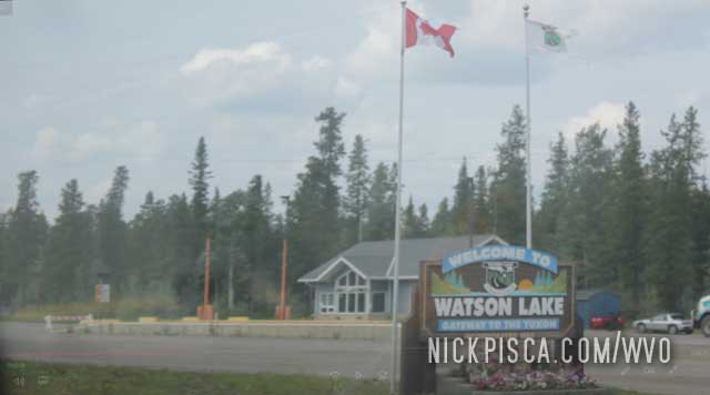
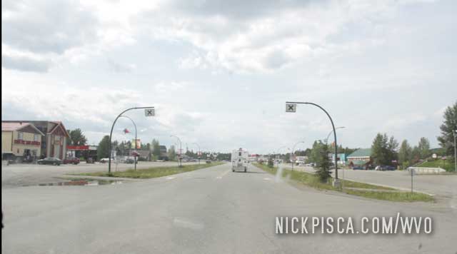
Watson Lake has this folk art “forest” of signs from all the people who drove the Alaska Highway.
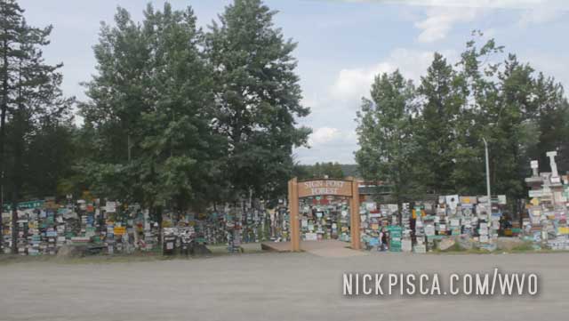
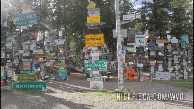
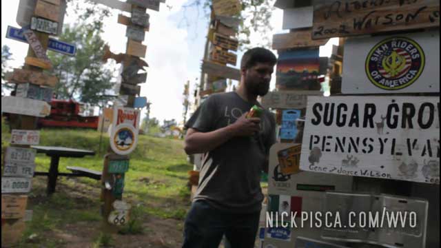
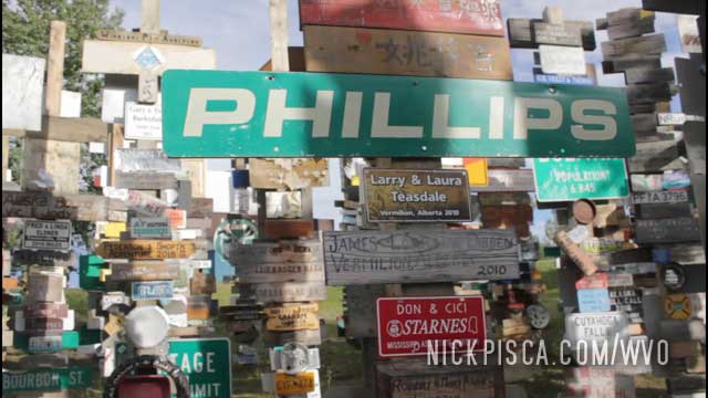
On the way back down to the States in 2018, we found our bumper sticker we put there in 2013. Pretty cool.
Time to fill up again. One of the problems with these northern Canada trips the rain storm and no place to fill up under a canopy. So we have to fill up whenever it’s dry.
We needed to get to Whitehorse before the end of the day, so we elected to do the standard Laird Hot Springs visit on the way back down. Sadly, we ran into problems on the way down, and didn’t have time to visit the springs. Bummer. It’s a great place to relax on the Alaska Hwy.
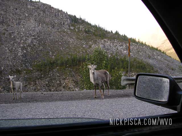
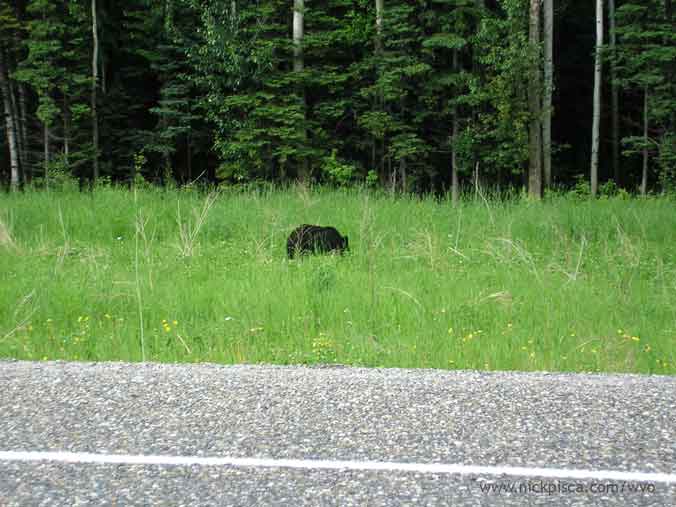
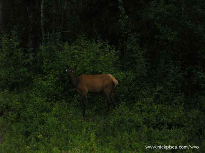
We’ve seen a lot of wildlife on our adventures up to the Yukon. Everything usually works out if you drive slowly and carefully, and also, try not to smell too much like veggie oil.
Some animals from the 2008 WVO Roadtrip:
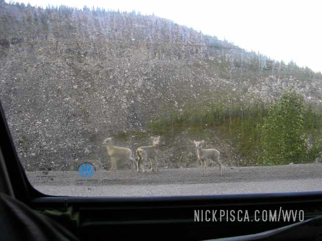
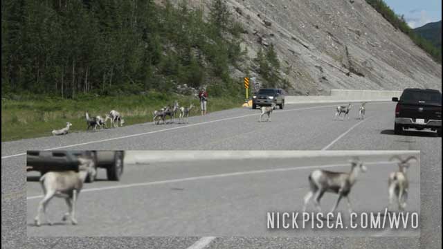
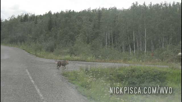
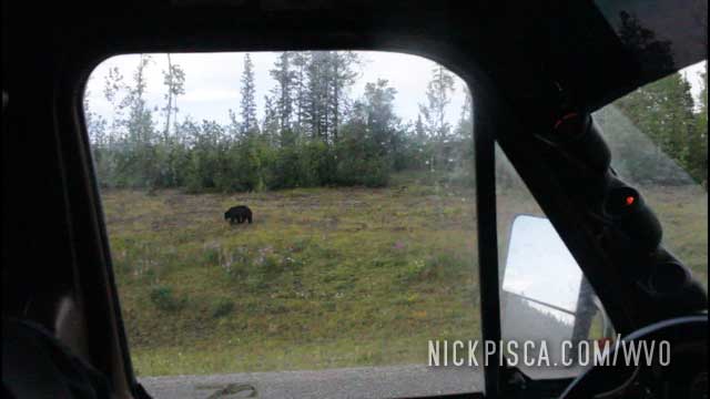
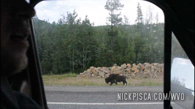
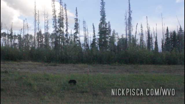
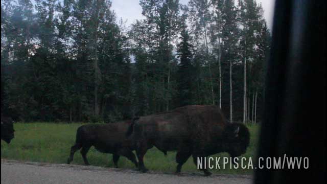
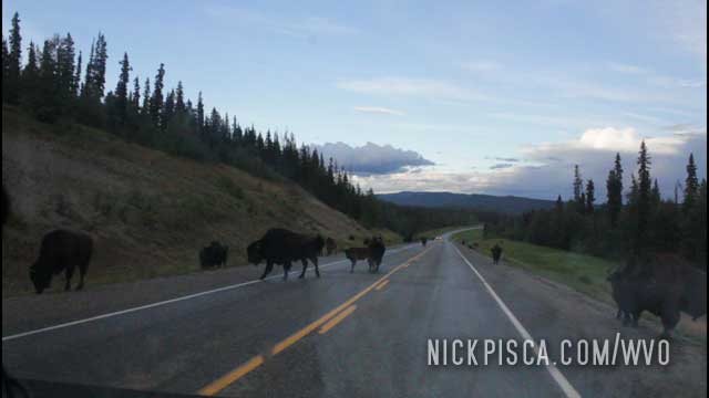
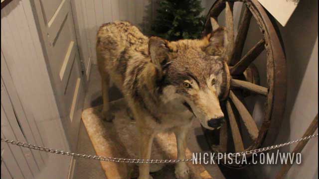
One the way up, we saw a good deal of wild-life on the side of the road. Several bison, many moose, possibly some caribou, a wolf, some sheep and three different instances of black bears. Also we saw what appeared to be a wild horse. Unlike other drivers we witnessed on the Alaskan Highway, we refused to feed the animals.
Our fourth bear sighting…
Some mountains and clouds outside Watson Lake…
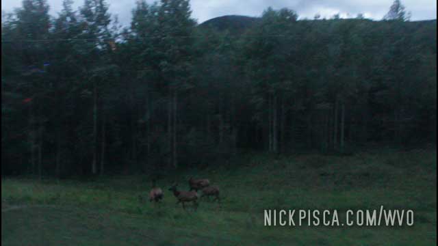
Since it rained all day, when the sun set the deer came out in full force. It was a slow drive.
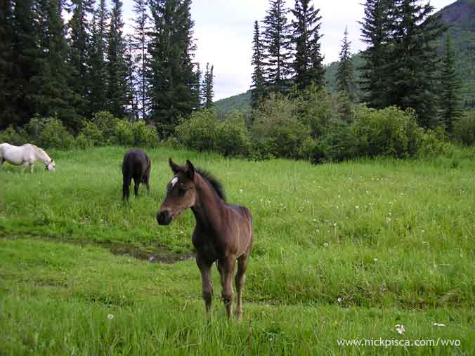
Some more horses in the middle of no-where…
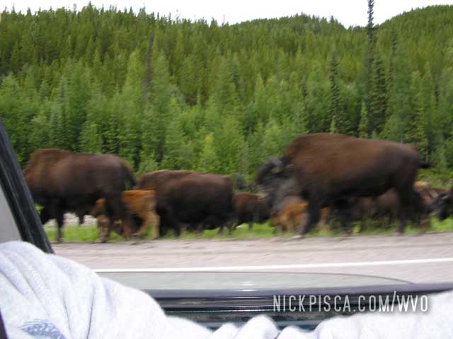
And bison. Lots of Bison:
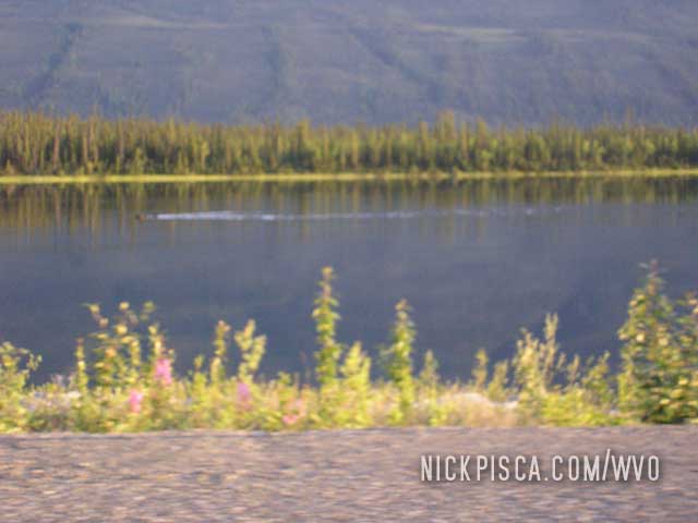
We even saw a moose swimming!!!
From the 2018 WVO Roadtrip:
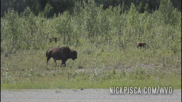
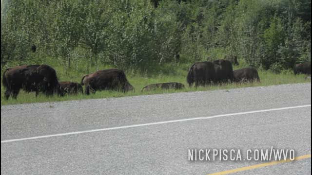
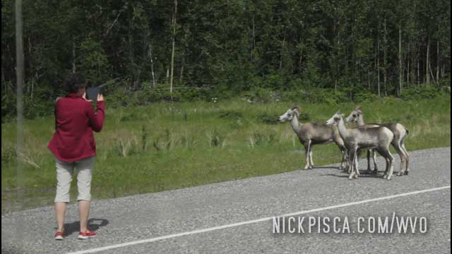
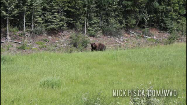

Since we’ve taken the Alcan Highway something like five times now, we have lots of pictures of this bridge and river.
2013:
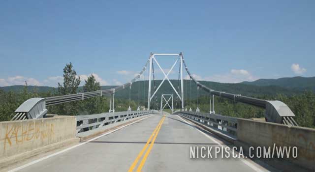
2018
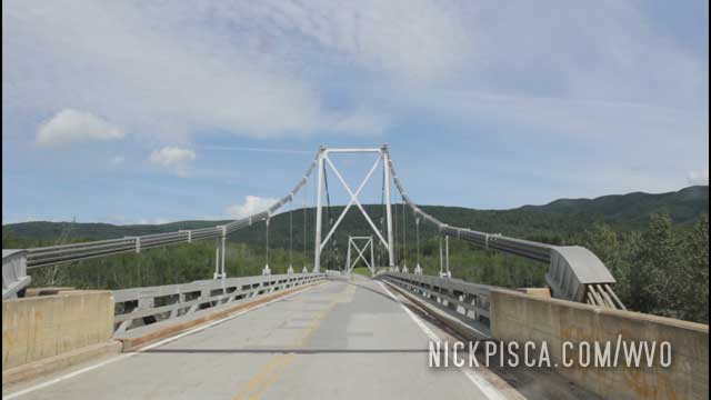
2018
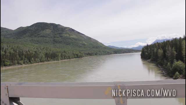
Almost exactly 5 years ago to the day, we took this road (the MacKenzie Hwy) to Fort Laird and Yellowknife. It was pretty sketchy. Many places were gravel and mud, and if it had rained harder, I’m sure our two-wheel-drive van wouldn’t have made it. And we didn’t see a car or truck for the duration of our drive.
We’ve been to Fort Nelson several times on our WVO roadtrips: 2008, 2013, and 2018. It’s on the Alcan Highway in a place where there are no alternatives, so you are kind of stuck visiting this town on the way up to Alaska. It’s a nice place, and they have the basics to keep the vehicle running on the way up north.
In 2008: This was our first trip through Fort Nelson.
Fort Nelson, British Columbia. 6pm-3:45am Wednesday and Thursday.
We decided to crash out in Fort Nelson even though we could have probably made it to Watson Lake that night. However, just shy of Fort Nelson we ran into a HAIL storm (what next?  ). The storm was looming in the distance and we had to burn some cubie boxes to protect the windshields. Here is a pic of the hail in the ditch as we tried to get out of the storm.
We left Fort Nelson at 4:00 am and was surprised to see how bright it was at 3:30 am. I don’t think it got dark at all that night.
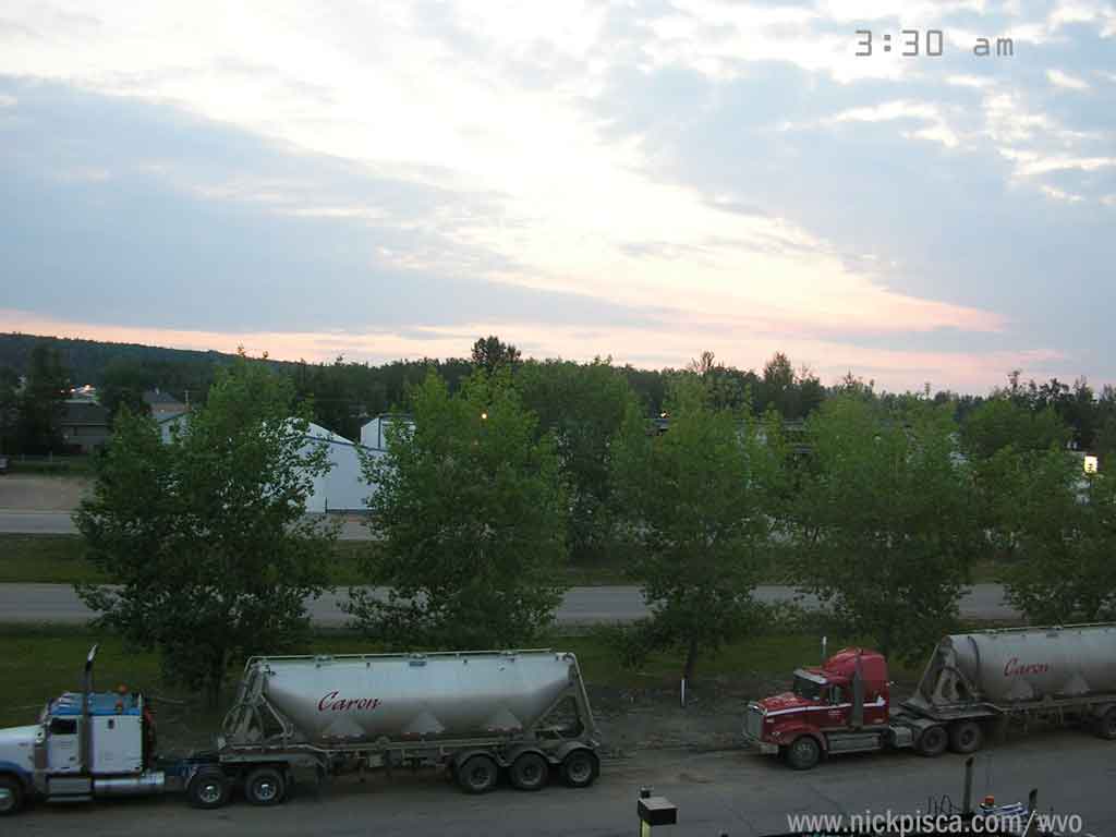
On the way back down to the US in 2008:
100km from Fort Nelson. 183230. 11pm Sunday.
Added 1.25 cubes. We encountered rain the whole day and it slowed our progress dramatically. When we pulled into Fort Nelson, we decided to crash for the night. The only restaurant open was Boston Pizza, and this is typical for the whole route—no late-night food. The great thing about Alaska and Canadian hotels is that they always have a refrigerator and microwave, so pack a few microwavable Campbell’s soup containers in the trunk.
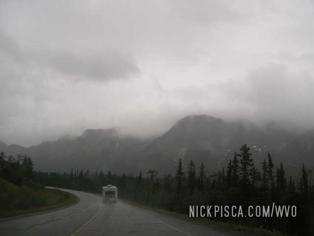
Fort Nelson, British Columbia. 11pm Sunday – 11am Monday.
It appears that the only auto parts store is here, because I couldn’t find an oil filter anywhere between Whitehorse and Fort St. John. A change of oil cost us our morning, so we got off to another late start.
In 2013, we took the MacKenzie Highway from Yellowknife on the way up to Prudhoe Bay, and we could have avoided Fort Nelson if we really wanted to. But since it had been 2 full days without a hot meal, we elected to drive the few miles south of the Laird Highway cutoff to reenter Fort Nelson to eat at their only restaurant.
In 2018: We buzzed through Fort Nelson rather quickly on the way up to Tuktoyaktuk. We didn’t really need to stop for anything at the moment. However, on the way back down south, we had an overdrive issue, so we stayed in town to fix the tailshaft seal, refill the gear oil, and limp the van back to the U.S. at normal 55mph driving speeds. Man, when you lose the overdrive, you realize just how nice you had it before.

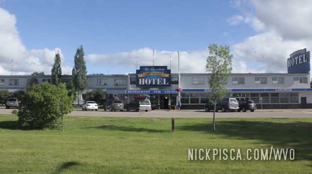
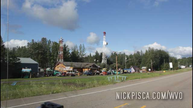
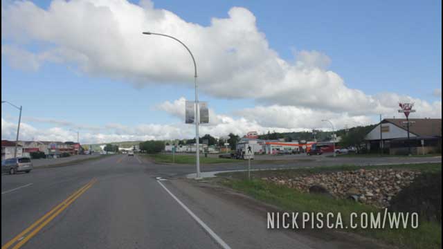
While I slept in the back, Glenn put down some major miles in the dark. As we keep getting further and further north this summer, the nights only last for a few hours at best. By the time I woke up, Glenn drove for hours and we needed another grease fill up.
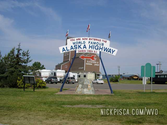
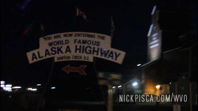
For the fifth or sixth time, we’ve passed the infamous “Alaska Highway” roundabout.
We cruised through Dawson Creek in 2008 during the day:
And in 2018, we hit it at night:
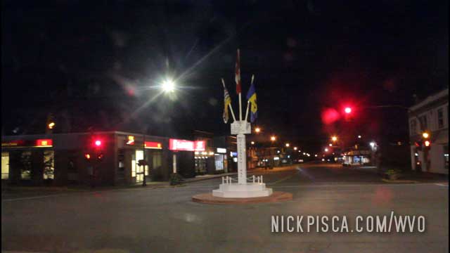
Also, in downtown, you can see the original old-style signpost.
We’ve been there other times, but it’s getting so routine, that we rarely photograph it all anymore. Just another day in the life of the most prolific WVO roadtrippers on the planet.
Everyone knows the start of the Alaska Highway is Dawson Creek. So seeing this on the horizon is a welcome sign.
Just by sheer chance, we pulled into this town Vegreville on some Polish or Ukrainian heritage festival. There were lots of people celebrating in town and at this park that has a rotating decorated egg.
We got some poutine and ice cream to eat from some of the local stands in the park. Overall, pretty eventful for such a small town.
Nice little museum in the middle of nowhere. I was kind of surprised how much there was to do in this town of Vegreville. The day was hot as hell, so we opened the hood to let the engine and coolant cool off a bit while we spent an afternoon in the museum.
We’ve visited several of these wonderful Western Expansion Museums over the years, but this year, we had an urgent schedule to make. Until next time…
We’ve stayed here before. Not this time though… on the way to the Yukon!
On the 2018 WVO Roadtrip, after catching some Z’s at the Saskatoon Ramada, and Glenn finally washing his body, we decided to reenter our fart-riddled van for the next three days. But since we were still kinda out of it, we forgot to close the back door. After a mile of driving down Saskatoon’s main drag, some kid hung out the window of a neighboring car and told us our shit was falling out. Thank god. We had a few tools in the back and thankfully he told us before they all crashed on the pavement.
On the 2013 WVO Roadtrip, we once again reentered Saskatoon. We were driving through the night to make up time from the drive from Prince Rupert to Wisconsin.
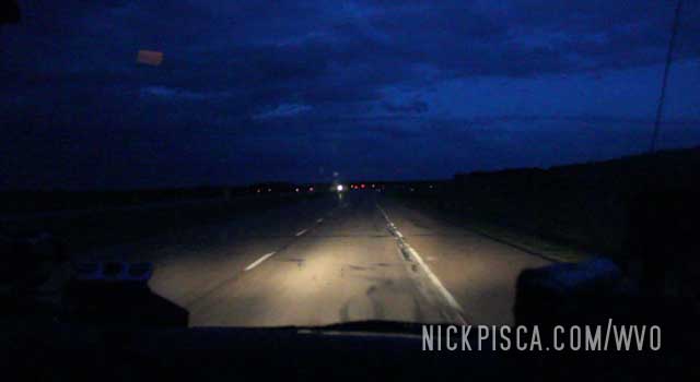
Saskatoon is an interesting town. We cruised the strip just to change up the monotony of driving the plains of the Yellowhead Highway.
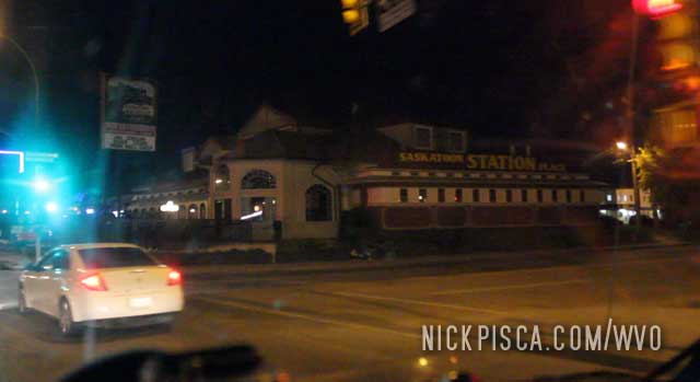
We got in really late. I was able to recharge the AC that night. After all those hours on the road, we felt ok with sleeping in a few hours. After all, we knew we’d be on the road basically until we got to the Yukon, so this would be our last chance to get some real sleep and a shower.
We’ve been to Regina several times, notably in 2012 and 2018.
In 2012, we cruised through the downtown and visited their Tourism Center. Since it was getting late, we didn’t have time to see any sites, but we did find a hotel in the area thanks to the help of the Visitor’s Center agents.
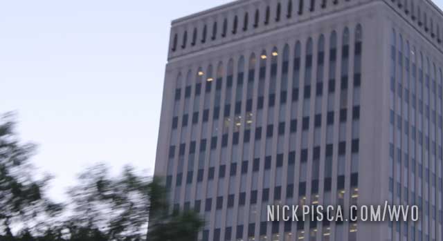
In 2018, it was getting dark, so we booked it through Regina to get to our hotel in Saskatoon. After driving for two days straight with some brief van camping in between and lots of days of loading, we were beat.
We’ve been doing these trips for years and years, and we’ve finally wised up to combat the incessant onslaught of bugs on the windshield. We got our own heavy duty sprayer and squeegee.
Still running behind schedule. Thankfully, the border patrol didn’t detain us for too long, and we were able to get a recommendation from the tourism center that George’s Burgers was a good local place to eat.
We pulled into Morris Manitoba around lunchtime.
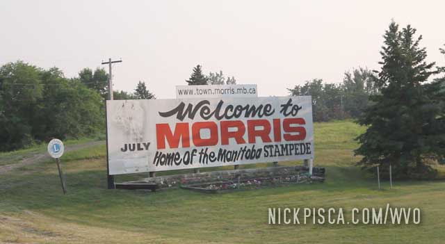
George’s Burgers was ok. Not much of a selection. But it’s a small town, so beggars can’t be choosers.
We ran short on time, so we skipped our planned trip to the Missile Silos. Bummer.
Heading north, trying to make up some ground for sleeping so much.
Because we are getting old, we decided to catch a few Z’s in northern Minnesota before moving on to the border. What started as a simple hour catnap, ended up being hours long until the sun rose. Like I said, we are getting old.
Tried running thicker oil this trip, and only a few hours from home, we had to unclog and clean the pre-filter on the veg pump. Minor delay, and back on the road in an hour.
On the 2014 WVO Roadtrip, we woke up early to see the infamous Dinosaur National Park. It lived up to the expectations. The national park is surrounding a huge deposit of Jurassic and Triassic fossils embedding in the stone mountain. Back in the 50’s, they commissioned a building to encase the largest concentrations of artifacts, which in itself is an impressive structure. It’s a living archaeological site, and scientists are actively excavating the items as you peruse the national park.
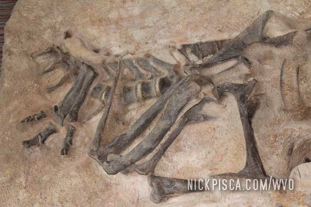
The national park was so impressive, that we came back to the place in 2018.
On the 2006 WVO Roadtrip,
8:15pm GN Monday. 1600 Trip Meter Reading.
The replacement of the small/primary filter. We stopped off to grab some food from a Village Inn and snapped photos of the “hot rod” while it’s still sitting high.
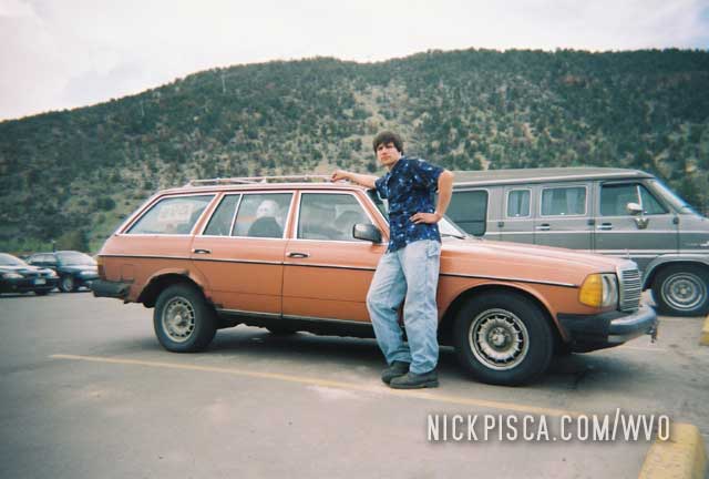
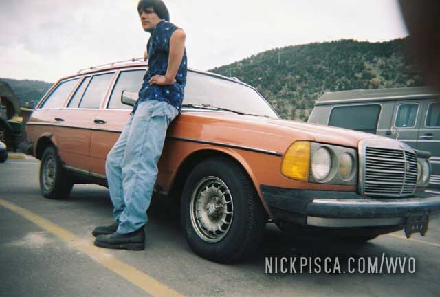
We expected it to fall soon thereafter, but it maintained its stressed appearance for the remainder of the journey.
On the 2014 WVO Roadtrip, we hammered down to make Denver before dinner. But we still needed to make one more quick stop before Valerie took her nap.
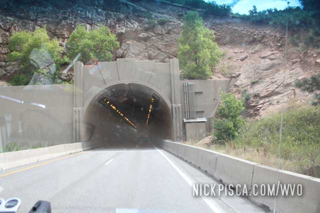
So we pulled off I-70 at Glenwood Springs. At the time, we didn’t know about the wonderful donut shop named “Coloradough,” so we decided to pull off by the rest area which allows you access to the Colorado River. We skipped rocks on the shoreline for an hour and released some energy.
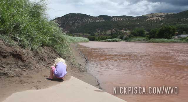
Eventually, we had to go. But Valerie didn’t want to leave. I couldn’t blame her. She was 3 and didn’t want to get back in the van for a few hours. She threw a fit, but after sitting with her for a few minutes, she decided to move on.
On the 2018 WVO Roadtrip, we had to stop off at the infamous Coloradough. It’s a doughnut shop that is amazing. We got there after hours, but the owner was working in the back. After he realized we were taking selfies in front of his beloved shop, he struck up a conversation with us. After a few minutes, he generously gave us a few day-old doughnuts for our trip. Thanks so much!
We have been to the stratospheric Rocky Mountain National Park twice: 2012 and 2018.
In 2012, we came from the south and had to negotiate the Milner Pass at 10759 ft. But that was just the tip of the iceberg.
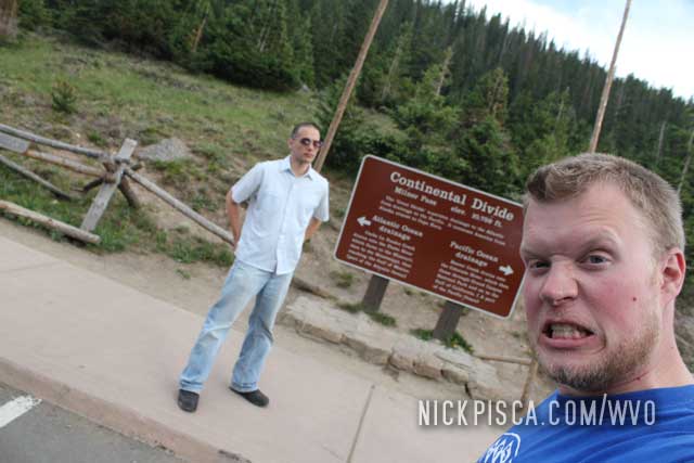
Rocky Mountain National Park is a spectacular place. It’s the only place in America where you can drive a paved road over 12,000 ft in elevation. Also, around every corner is a spectacular view. Also, this park is closed in the winter, for good reason. It must be inundated with snow by early September.
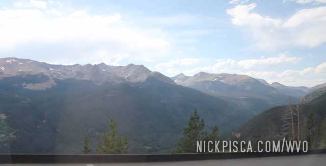
We drove through in July, which is prime season for tourists. It was a little crowded. Also, it was cold. We ended up driving to the elevation of 12,183 ft (3,713 m), which is the highest elevation we had ever achieved on any of our WVO roadtrips.
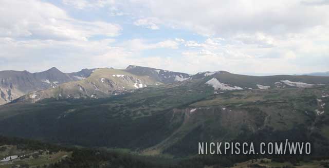
In 2018, it was even colder. Even though we were driving up in late June, the temperatures decreased dramatically. As we climbed the hiking path at the Alpine Ridge Trail, the light rain turned into flurries. We didn’t plan for 32 degree weather and high winds for a summer roadtrip, but it was still cool to experience.

2018

2018

2018

2018

2018

2018

2018

2018

2018

2018

2018

2018

2018

2018

2018

2018

2018

2018

2018

2018

2018

2018

2018

2018

2018

2018

2018

2018

2018

2018

2018

2018

2018

2018

2018

2018

2018

2018

2018

2018

2018

2018

2018

2018

2018

2018

2018

2018

2018

2018

2013, 2018

2008, 2013, 2018

2018

2018

2018

2008, 2018

2013, 2018

2018

2018

2018

2018

2018

2018

2018

2018

2008, 2018

2018

2018

2018

2008, 2018

2018

2018

2018

2018

2018

2018

2018

2018

2018

2013, 2018

2018

2018

2018

2012, 2018

2018

2018

2018

2013, 2018

2018

2018

2018

2018

2014, 2018

2006, 2014, 2018

2012, 2018