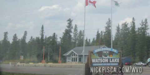
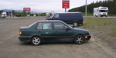
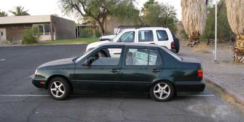
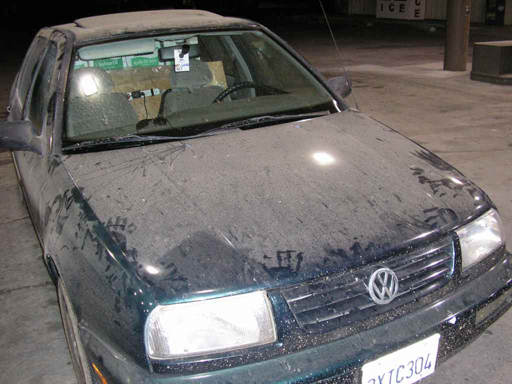
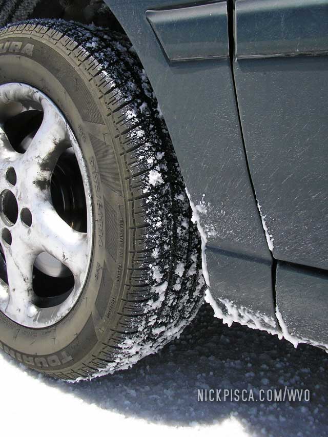
We’ve been to Watson Lake a half dozen times now. The first time was in 2008 when we cruised through with the Jetta after a hail storm.
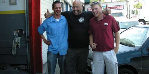
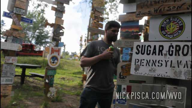
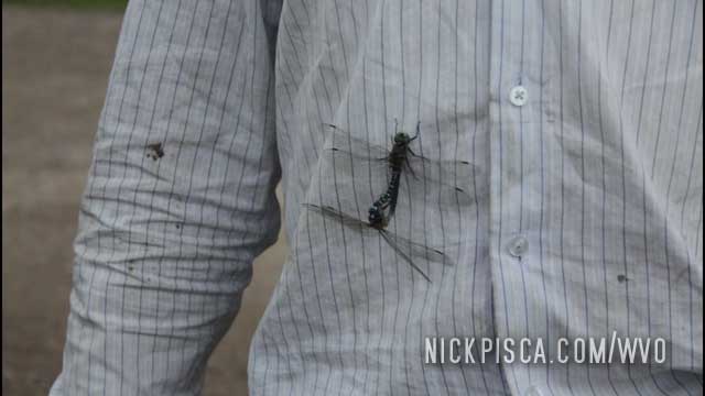
The next time was in 2013 with the Veggie Van. Here’s a pic from the good ol’ days:
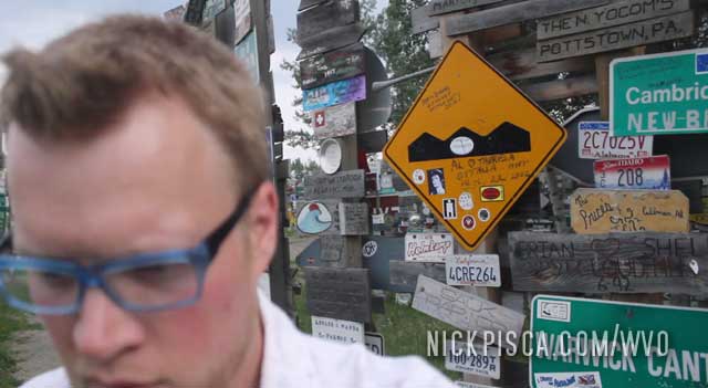
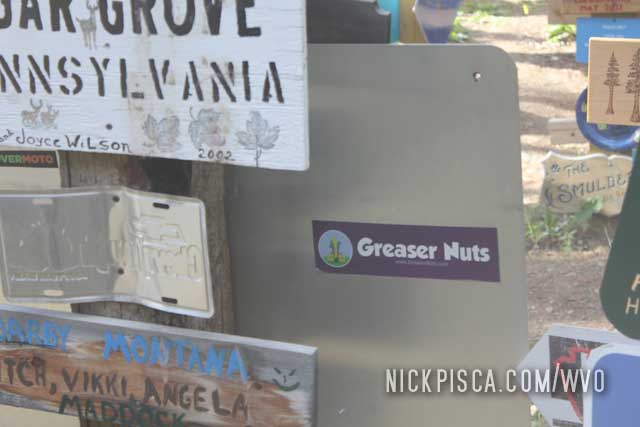
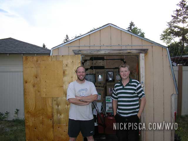
I miss that shirt. Back on that day in 2013, we put a Greaser Nuts bumper sticker on one of the signs. Anyway, back on topic.
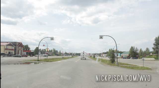
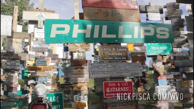
The latest time we visited this town was the 2018 trip up to Tuktoyaktuk. We snapped even more photos because this place is growing exponentially.
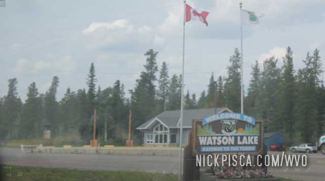
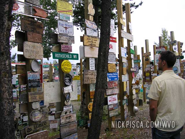
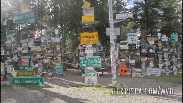
Watson Lake has this folk art “forest” of signs from all the people who drove the Alaska Highway.
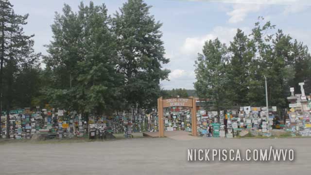
On the way back down to the States in 2018, we found our bumper sticker we put there in 2013. Pretty cool.
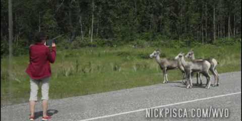
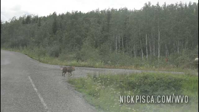
We’ve seen a lot of wildlife on our adventures up to the Yukon. Everything usually works out if you drive slowly and carefully, and also, try not to smell too much like veggie oil.
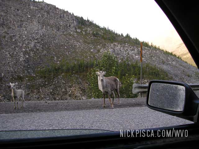
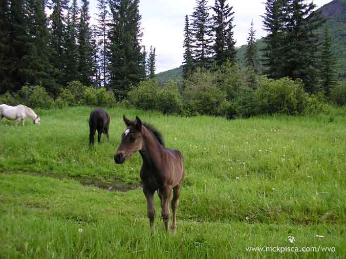
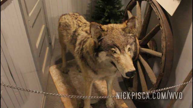
Some animals from the 2008 WVO Roadtrip:
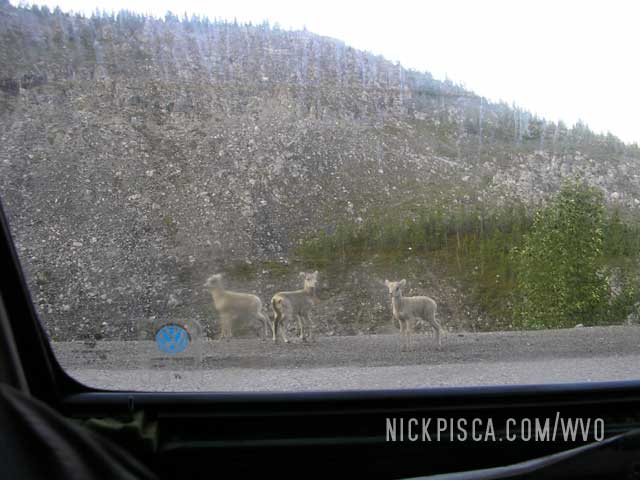
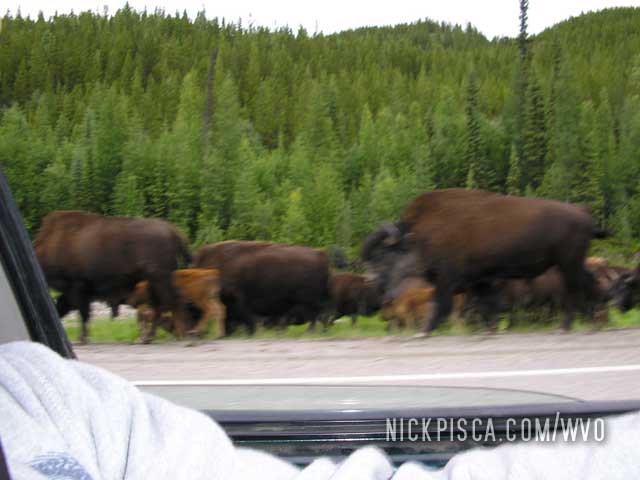
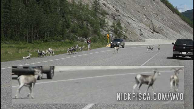
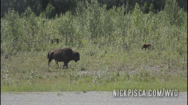
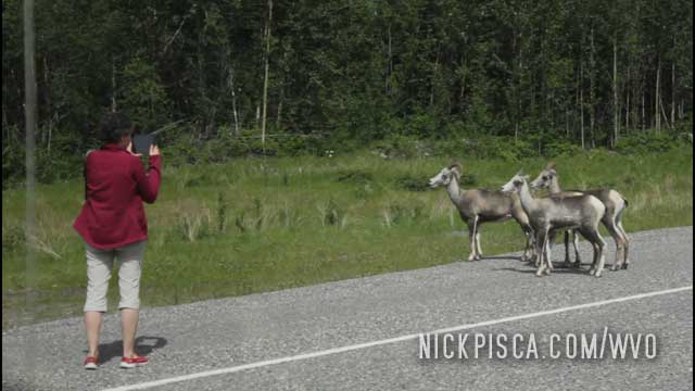
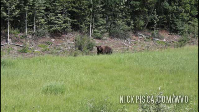
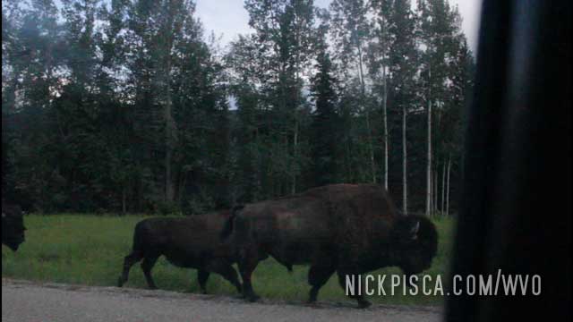
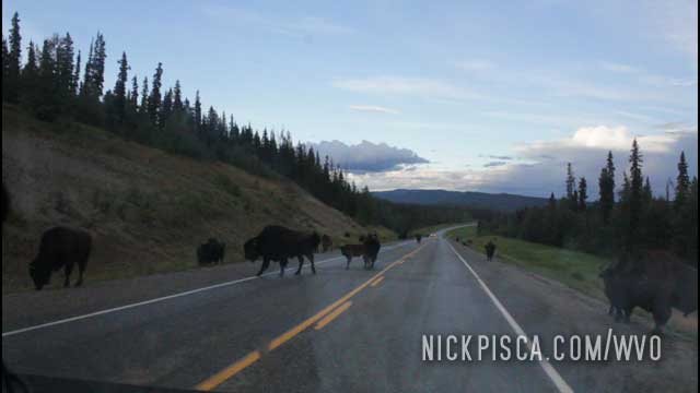
One the way up, we saw a good deal of wild-life on the side of the road. Several bison, many moose, possibly some caribou, a wolf, some sheep and three different instances of black bears. Also we saw what appeared to be a wild horse. Unlike other drivers we witnessed on the Alaskan Highway, we refused to feed the animals.
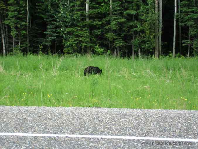
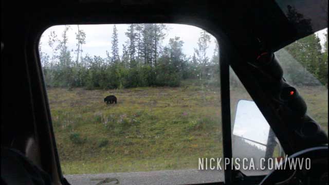
Our fourth bear sighting…
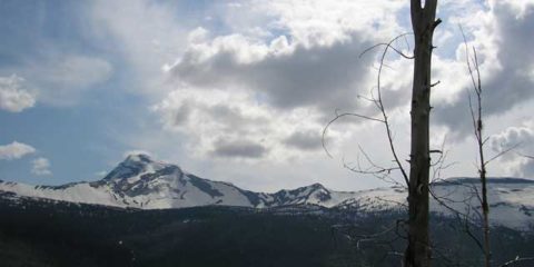
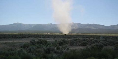
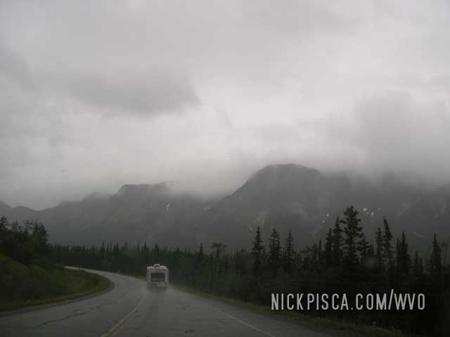
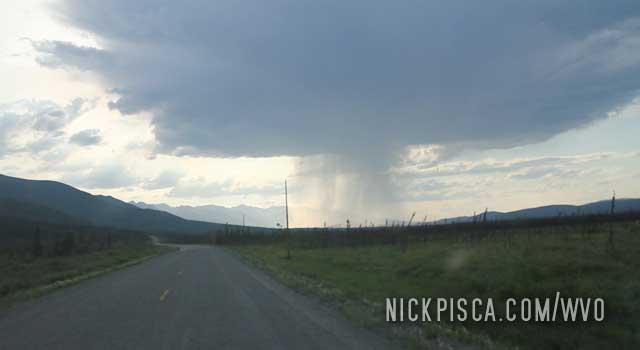
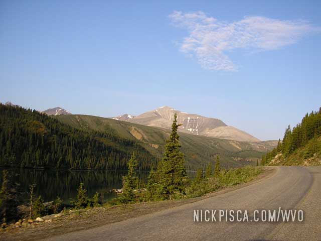
Some mountains and clouds outside Watson Lake…
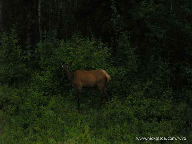
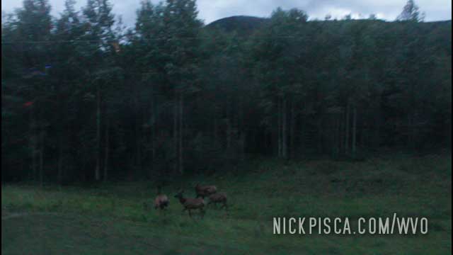
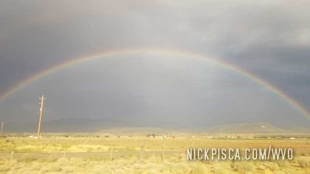
Since it rained all day, when the sun set the deer came out in full force. It was a slow drive.
Some more horses in the middle of no-where…
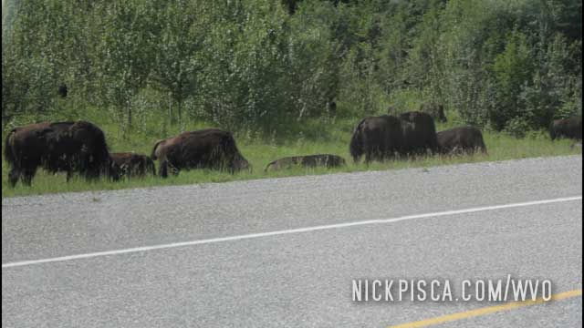
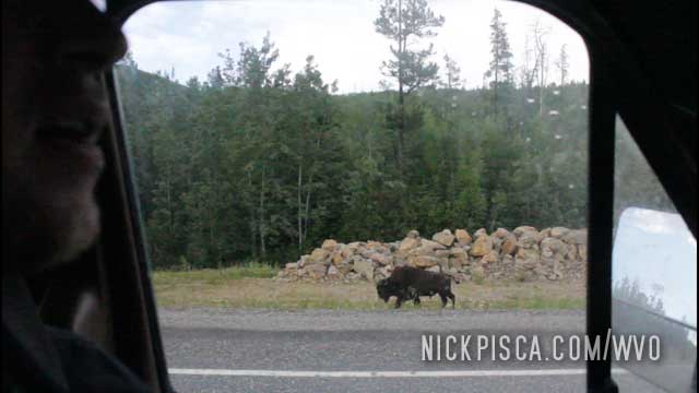
And bison. Lots of Bison:
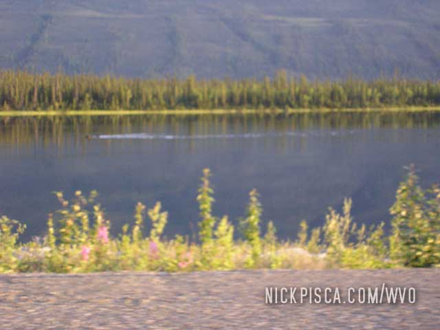
We even saw a moose swimming!!!
From the 2018 WVO Roadtrip:
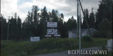
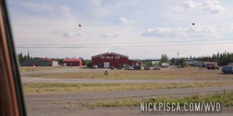
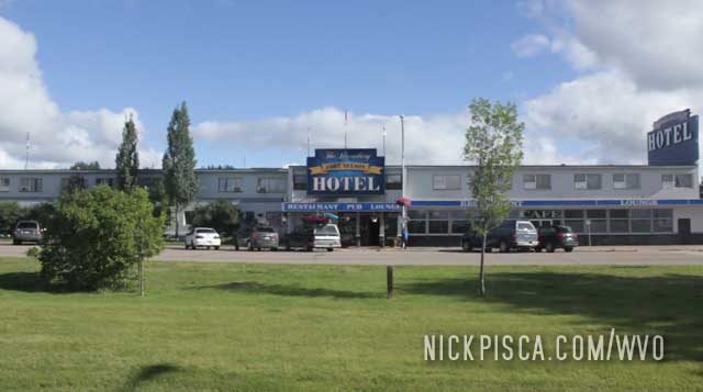
We’ve been to Fort Nelson several times on our WVO roadtrips: 2008, 2013, and 2018. It’s on the Alcan Highway in a place where there are no alternatives, so you are kind of stuck visiting this town on the way up to Alaska. It’s a nice place, and they have the basics to keep the vehicle running on the way up north.
In 2008: This was our first trip through Fort Nelson.
Fort Nelson, British Columbia. 6pm-3:45am Wednesday and Thursday.
We decided to crash out in Fort Nelson even though we could have probably made it to Watson Lake that night. However, just shy of Fort Nelson we ran into a HAIL storm (what next?  ). The storm was looming in the distance and we had to burn some cubie boxes to protect the windshields. Here is a pic of the hail in the ditch as we tried to get out of the storm.
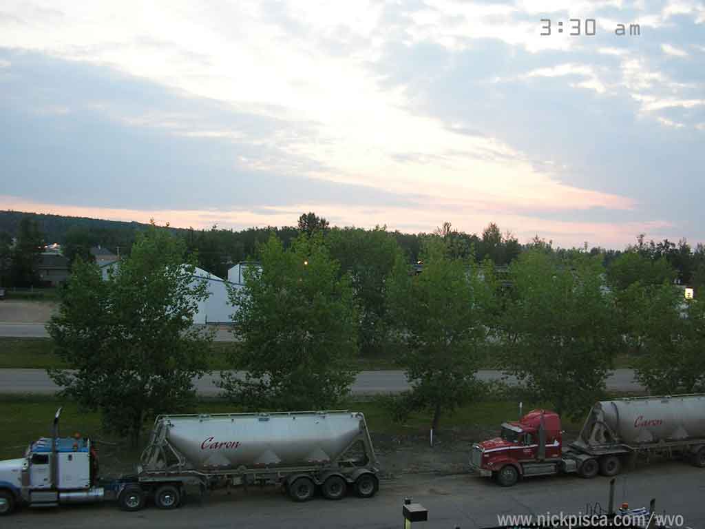
We left Fort Nelson at 4:00 am and was surprised to see how bright it was at 3:30 am. I don’t think it got dark at all that night.
On the way back down to the US in 2008:
100km from Fort Nelson. 183230. 11pm Sunday.
Added 1.25 cubes. We encountered rain the whole day and it slowed our progress dramatically. When we pulled into Fort Nelson, we decided to crash for the night. The only restaurant open was Boston Pizza, and this is typical for the whole route—no late-night food. The great thing about Alaska and Canadian hotels is that they always have a refrigerator and microwave, so pack a few microwavable Campbell’s soup containers in the trunk.
Fort Nelson, British Columbia. 11pm Sunday – 11am Monday.
It appears that the only auto parts store is here, because I couldn’t find an oil filter anywhere between Whitehorse and Fort St. John. A change of oil cost us our morning, so we got off to another late start.
In 2013, we took the MacKenzie Highway from Yellowknife on the way up to Prudhoe Bay, and we could have avoided Fort Nelson if we really wanted to. But since it had been 2 full days without a hot meal, we elected to drive the few miles south of the Laird Highway cutoff to reenter Fort Nelson to eat at their only restaurant.
In 2018: We buzzed through Fort Nelson rather quickly on the way up to Tuktoyaktuk. We didn’t really need to stop for anything at the moment. However, on the way back down south, we had an overdrive issue, so we stayed in town to fix the tailshaft seal, refill the gear oil, and limp the van back to the U.S. at normal 55mph driving speeds. Man, when you lose the overdrive, you realize just how nice you had it before.

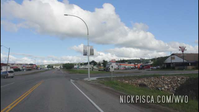
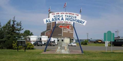
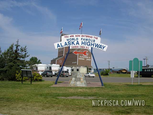
For the fifth or sixth time, we’ve passed the infamous “Alaska Highway” roundabout.
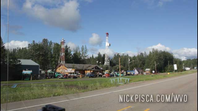
We cruised through Dawson Creek in 2008 during the day:
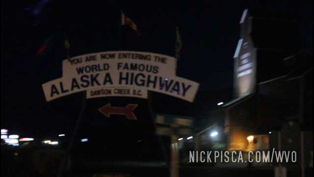
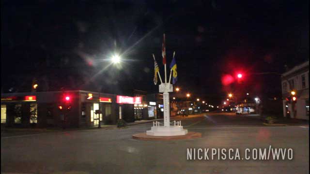
And in 2018, we hit it at night:
Also, in downtown, you can see the original old-style signpost.
We’ve been there other times, but it’s getting so routine, that we rarely photograph it all anymore. Just another day in the life of the most prolific WVO roadtrippers on the planet.
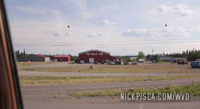
Back in 2008, we first pulled into Tok after visiting the Yukon. We had some lofty expectations of Alaska, especially since we grew up in Wisconsin, and every other hick dreams of moving up to this place as if it’s Mount Olympus.
Then we faced the reality. Alaska is mostly bogs and swamp, not the pristine mountains and forest from the postcards. If Anchorage is the front door to “beautiful Alaska,” then Tok is the back door. You get to the see the real Alaska that most people on the cruise ships never experience. Unlike the Yukon, which has universal health care, Alaska has a free market and highly-unregulated governmental structure, so people don’t have basic services or building codes. We often found people in Tok without fingers, teeth, or limbs. It wasn’t uncommon to find burned out or collapsed houses. It’s truly like living in the wild west.
In 2008, we wrote:
Tok is a tiny little town. While the maps show these places with certain size fonts to describe population, they are barely larger than the smallest towns in Wisconsin. They are hardly towns at all.
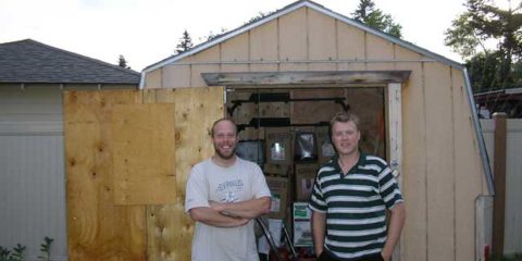
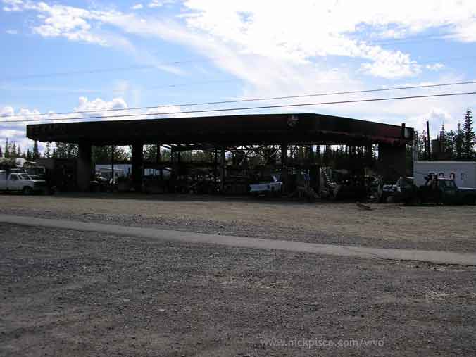
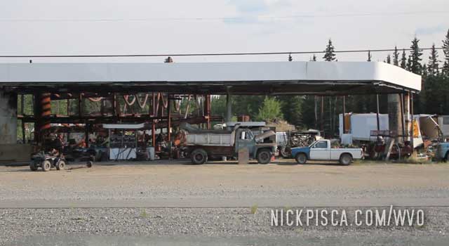
On of the infamous places in Tok is a burned out gas station. As mentioned above in 2008, now in 2013, the owner has used to to have a covered junkyard. Pretty spiffy.
We stopped at one of the few Tok restaurants and ate a dinner. We expected to be on the road for hours and hours and hours up to Fairbanks and ultimately Prudhoe Bay, so we figured this would be the last time we got a non-microwavable meal in a week. Off to Fairbanks we go.
The night before, we pulled into Whitehorse really late. It was too late to find a hotel, so we just pulled off and parked the van in the woods at Skeeters. He left us some cubes to make the trip up to the Prudhoe Bay, so we needed to stop by there anyway.
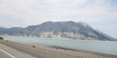
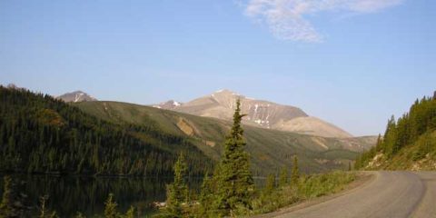
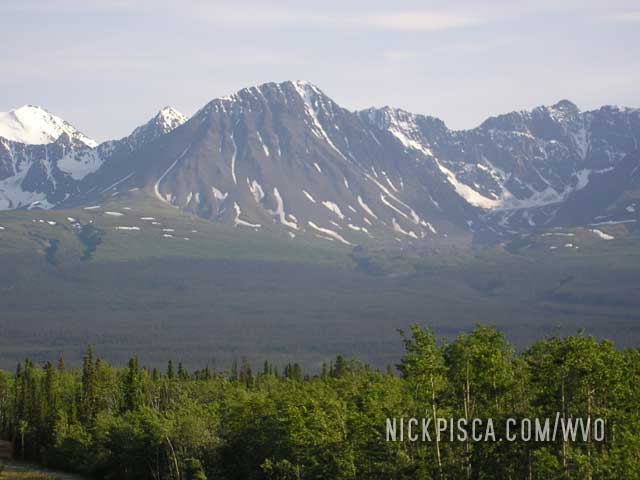
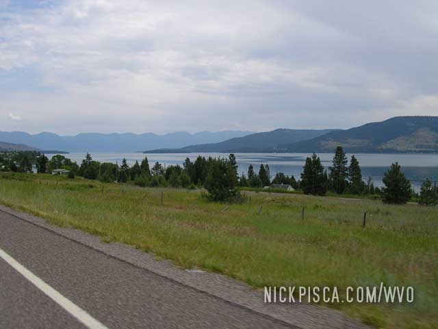
We got an early start the next day, and headed up the Alaska highway as soon as possible. One of the places I distinctly remember on the 2008 WVO Roadtrip was Lake Kluane. At the time, it was under road construction and it was all gravel.
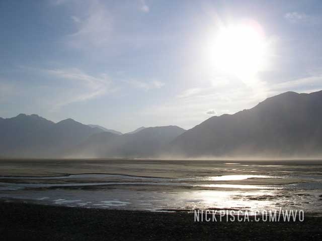
We also passed this lake on the way back down from Anchorage in 2008.
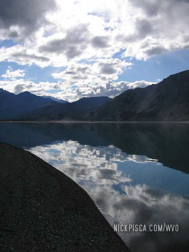
Now in 2013, that’s been paved for five years, and cruising was much easier. I don’t know the geology and geography of the Yukon, but I suspect the light blue color comes from glacial run-off. It’s a really amazing.
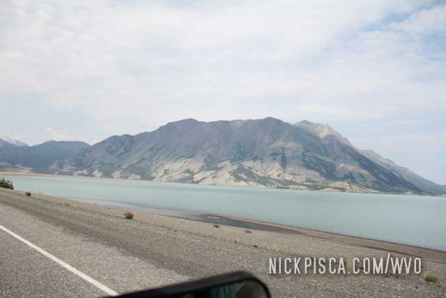
Contrast that to a nearby river, and you can really see the difference in color.
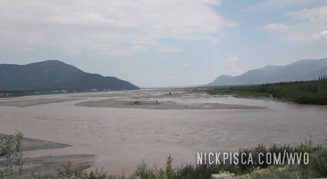
So many different looks for the same lake. It really transforms into something completely different.
We’ve been to Laird Hot Springs in 2008 and 2013. We could have stopped in 2018, but both our drives north and south put us at a time that meant the springs was closed.
Laird Hot Springs is a MUST stop on the Alcan Highway. After sitting in a car for a few thousand kilometers, you need some time to relax, stretch the muscles, warm the body, and get comfortable.
When we did the first Alaska WVO Roadtrip in 2008, my aunt informed me about this wonderful place. She and her husband used to come up here when they were dogsledders in the 80’s. They would drive up with their dogs and stop here to take a break.
So we pulled off the Alcan and got in the hot spring. It’s great.
From our 2008 WVO Travel Log:
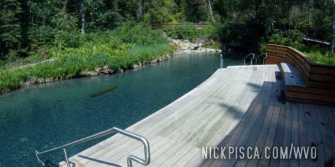
Back in 2008, the facility wasn’t much. Just a wooden walkway and some dock.
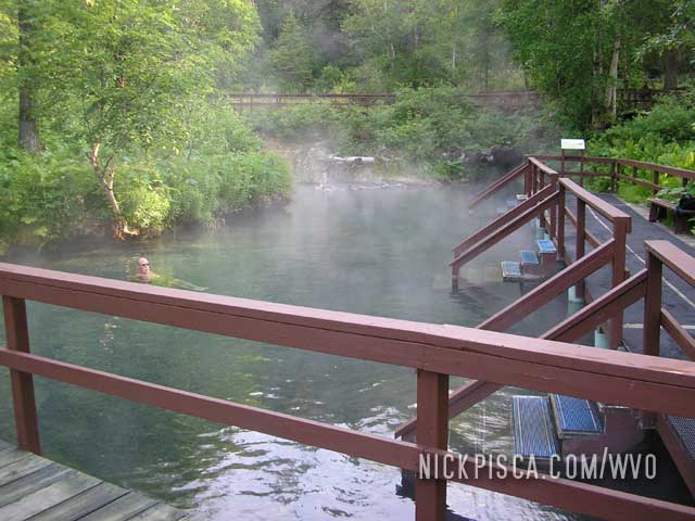
Contrast that to the 2013 WVO roadtrip, and the Canadian government has made some plush improvements. Changing rooms, wooden patios, and all sorts of spiffy stuff.
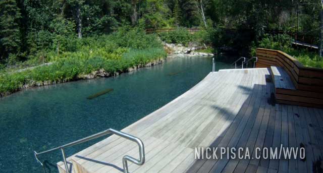
We blew an afternoon relaxing here. If it wasn’t for the fact that we had to make some miles as soon as possible, we’d probably still be there.
In 2008 and 2010…
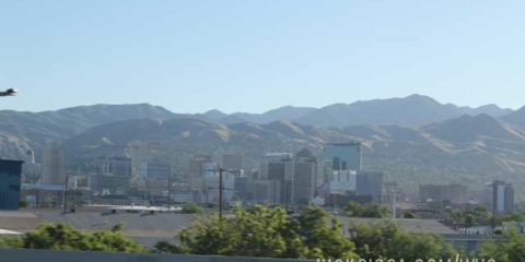
No time to stop in SLC. We need to make up for lost ground doing repairs in Mesquite. Onward to northern Montana.
In 2013 and 2021…
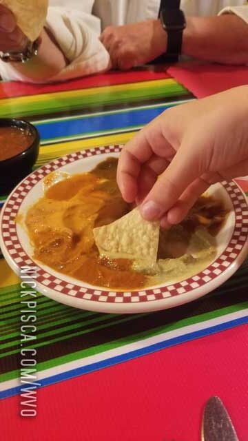
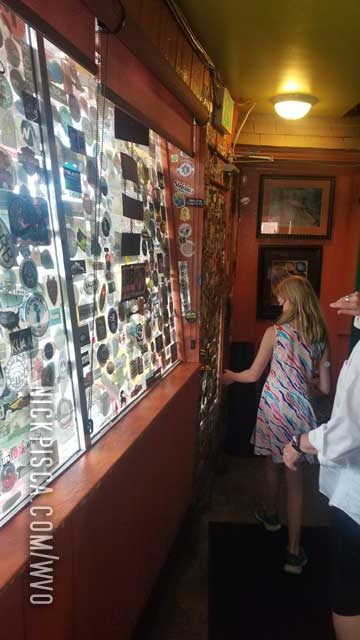
Basically, every single time I go to SLC, I have to stop at the best Mexican restaurant on the planet: The Red Iguana.
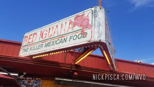
It’s hard to explain just how amazing and flavorful this place is.
That was pretty much the end of the 2021 roadtrip. We ate some food and decided to make the last stretch from Utah, Arizona, Nevada, and California back to LA.
On to the next roadtrip in 2022. Maybe we’ll finally finish the entire Mississippi River. Who knows.
Hopland, California. 185444. 11pm Thursday.
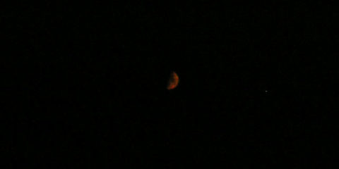
Added one cube. We wanted to take a mountain road to get us off of the windy 101 (to take the flat and straight I-5), but there were some really bad wildfires. They had LED signs stating that our access road would have fires and debris on the road surface. So we continued on the 101 for several hours until we drove through San Francisco. The fires were so bad that the moon shined blood red.
Los Banos, California. 185658. 2am Friday.
Ran out of VO. I always keep a half cube of SVO in case of emergencies, so we used part of it to keep some veg up against one side of my supply Hydraforce valve. We are still a few hundred miles away from LA, but it seemed ok to burn a little dino to make it before the morning rush.
Los Angeles, California. 185944. 7:15am Friday, July 11, 2008.
FINISHED! Thank God it’s done! Thank you to everyone to contributed and helped us on the way. We couldn’t have done it without you.
Stats:
Total Miles Driven: 8934 miles (14378 km)
Total VO: 170 gallons (644 liters)
Total Diesel: about 28 gallons (106 liters)
Average mileage: 45.1 mpg (19.2 kpl)
Total Duration: 13.26 days
Average miles-per-day: 673.7 miles (1084 km)
Average velocity (including rest): 28.1 miles per hour (45.2 km per hour)
Monetary savings with VO (assuming US$4.99 per gallon Diesel): US$847.68
Quote for the Trip: “A Montanan would say that is 90% good road. A pessimist would say that road is 10% washed out.”
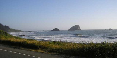
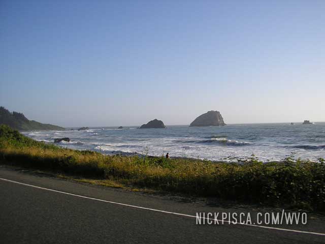
Pacific Ocean in Northern California. 7:30pm Thursday.
We decided rather than finding a hotel room in the area, we would skip the visit to San Francisco. We were supposed to visit Mike in the city to pick up a few cubes, but we didn’t want to bother him at such a late hour. With our math, we wouldn’t make it to SF until 1am.
Also, we’ve already been to SF on a previous road trip, and even though there are many things to see there, we were too beat. If we pushed thru the evening, we could possibly make it to Los Angeles before the Friday rush hour.
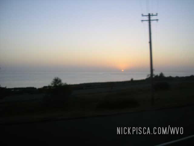
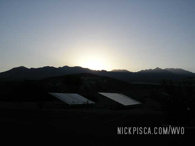
Sunset on the Pacific. 9pm Thursday.
A fitting image to end our journey. We are still several hours from home, but we were able to capture this shot of the sun meeting the horizon.
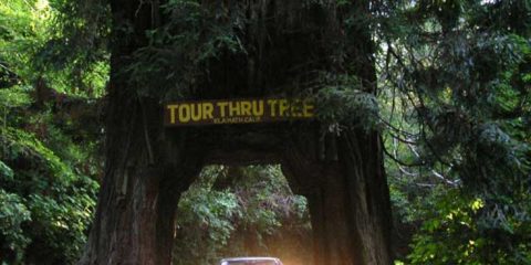
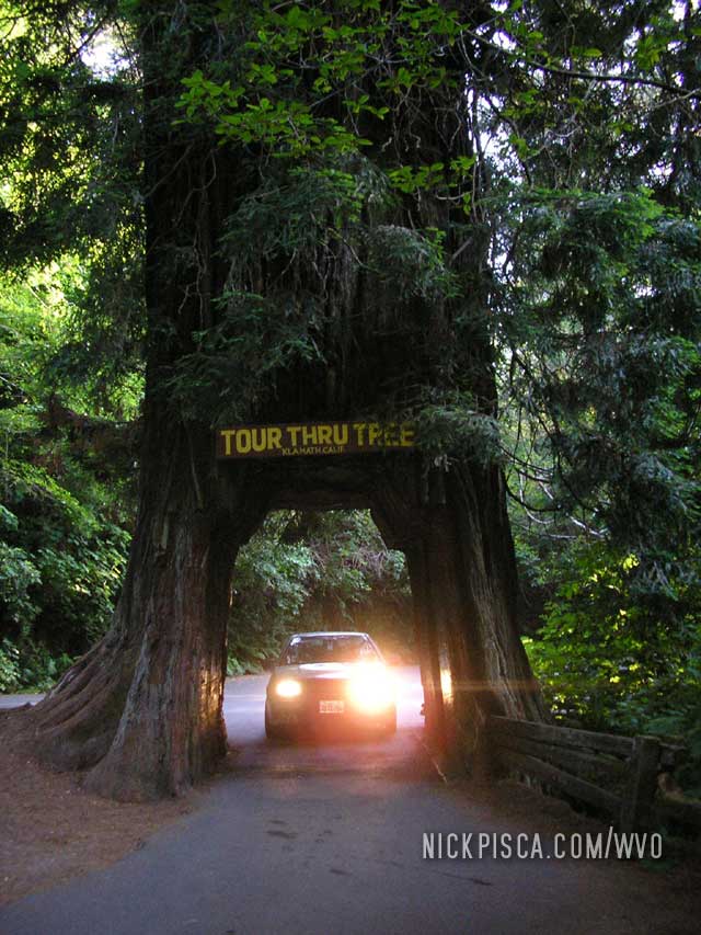
Redwood National Park. 185207. 6pm Thursday.
Added 1 cube in Crescent City. All I can say is these trees are gargantuan.
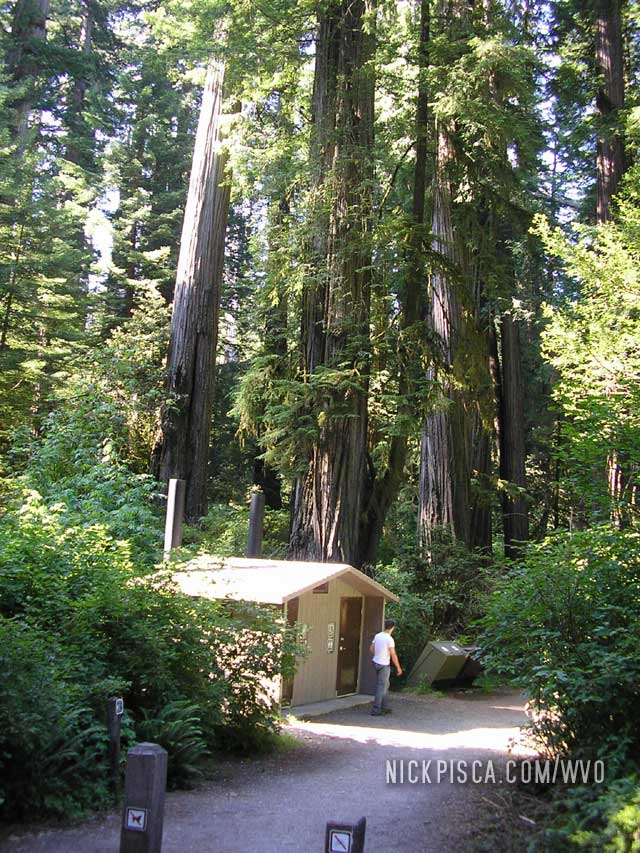
If you are heading from the north, it around 8 miles south of the main part of Crescent City.
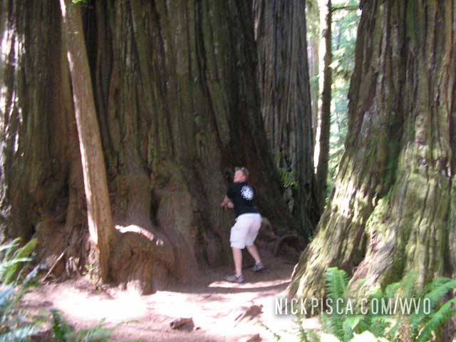
We had to drive a ways into the park to find that infamous tree through which we could drive.
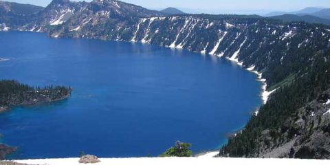
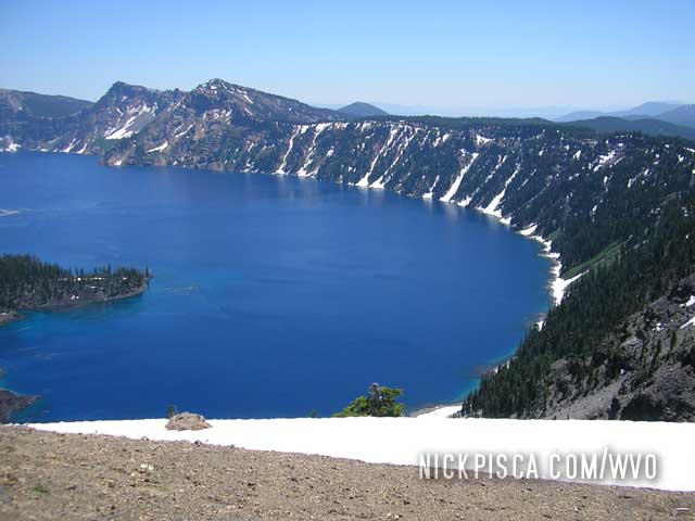
Crater Lake, Oregon. 185002. 1pm Thursday.
Added 1 cube. There was still a decent amount of snow on the ground at the tops of Crater Lake and Mt Ranier, even though it was near mid July.
Portland, Oregon. 184678 (est). 9am Thursday.
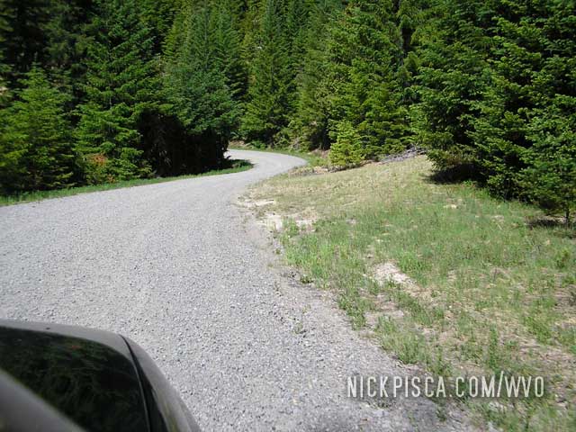
We needed to get an early start, but the trip has really drained us. We needed to get to Crater Lake and Redwood National before it got dark, and it would mean mainly 2-lane roads. I was driving, and after reviewing the map, I found what appeared to be a decent road that would shave off an hour. Here is the route we ended up taking.
Bad idea. We noticed a pattern with northwestern states and provinces: if people or maps refer to something at “scenic,” replace that word with “scary.” This road, which on the map appeared as a two-lane, was mostly a one-lane gravel route where portions were missing and large trees had fallen nearby. And for 60% of the journey, we skirted ravines that seemed to endless. There were so many hairpin turns that it took us an extra hour longer to get out of it.
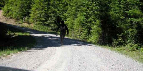
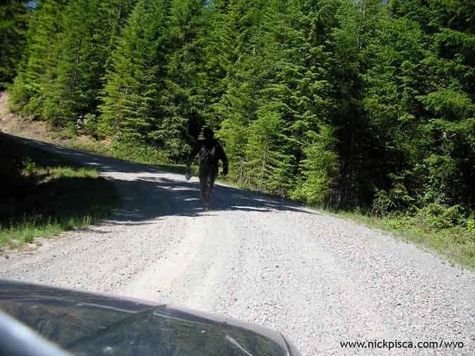
Also, since we were so far into the Oregon wilderness, we happened to stumble upon strolling Sasquatch. He didn’t seem to afraid of us, but eventually he scurried off into the woods. We only got one photo though.
Portland, Oregon. 184678 (est). 8:30pm Wednesday.
We decided to stay in Portland, because Bryan was going to hook us up with some spare veg. We grabbed some food, but later, his pump went out on him. Since our schedule is pretty tight, we calculated that we could make it back to LA on the grease we have and a tank of diesel.
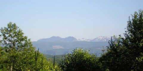
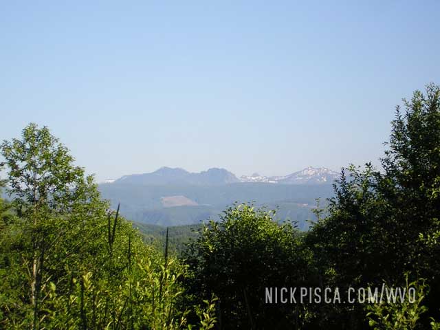
Mt St Helens, Washington. Wednesday.
Heading south on some Washington two-lane, there was a sign to “view” the volcano from a nearby hill. I’m not sure if we are actually looking at the peak, so it could have been a tourist trap.
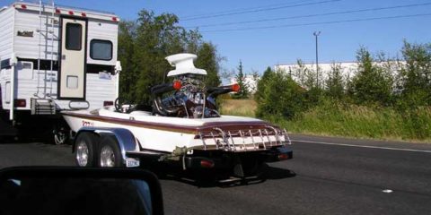
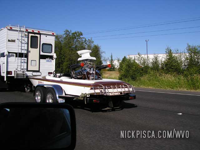
Somewhere on Interstate 5, Southern Washington. Wednesday.
Cruising the highway to Portland, we noticed an individual had constructed a rather modest watercraft. I’m sure this small boat help the owner putter around the lake quietly.
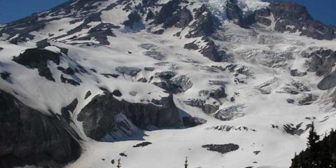
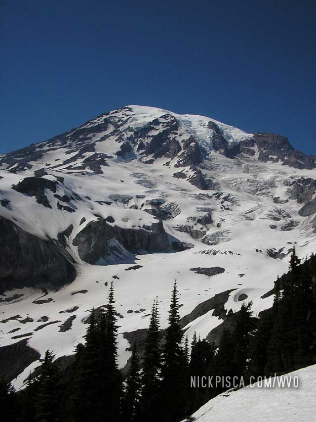
Mt Rainier, Washington. 184524 (est). 4pm Wednesday.
Surprisingly, you can drive up to a high elevation on the mountain. This left a mile-or-so hike (in the snow) to a decent vantage point to view the peak above the tree-line. Note to anyone hiking, bring a cubie box to the top, so you can get down fast by sledding.
Seattle, Washington. 184422 (est). 9am – 12:30pm Wednesday.
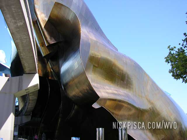
We walked down to the shop rather early and Chris wasn’t in yet, so we visited the needle and Frank Gehry EMP building.
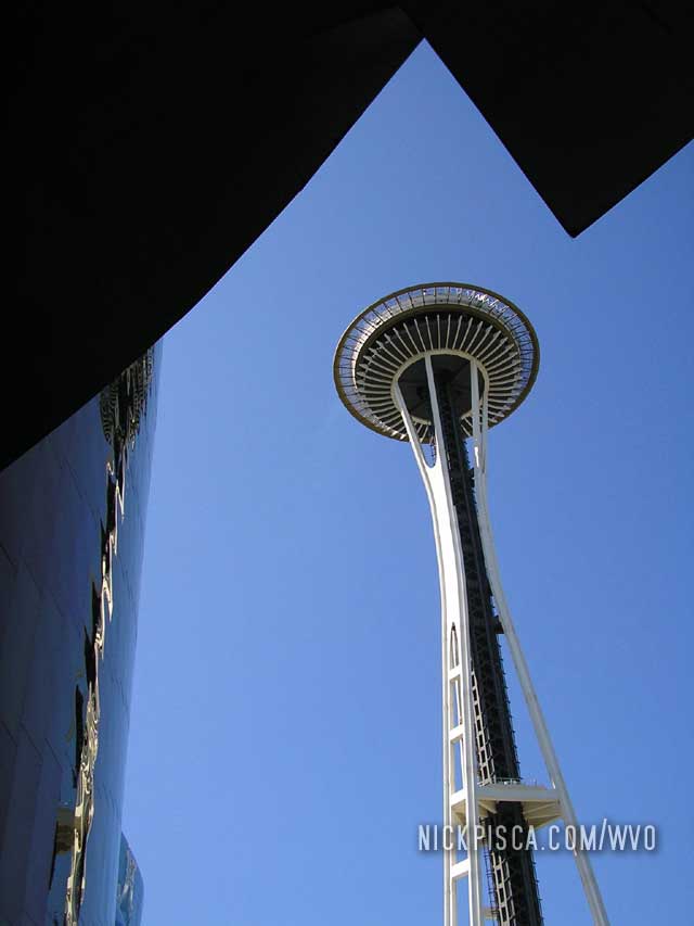
Frank Gehry’s EMP building. I worked for him for a decade. Really great experience.
From the top of the tower, we snapped the top of Mt Rainier from the Space Needle.
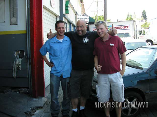
We got back to Frybrid to see Chris outside his shop working on something in the back of his truck. We checked out the ride and hung out with the Frybrid crew for a bit. Anyone greasing thru Seattle MUST visit this shop—it’s the best. They should think about making a reality show or something because we were busting a gut at some of the trash-talk. 😉
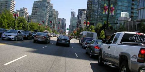
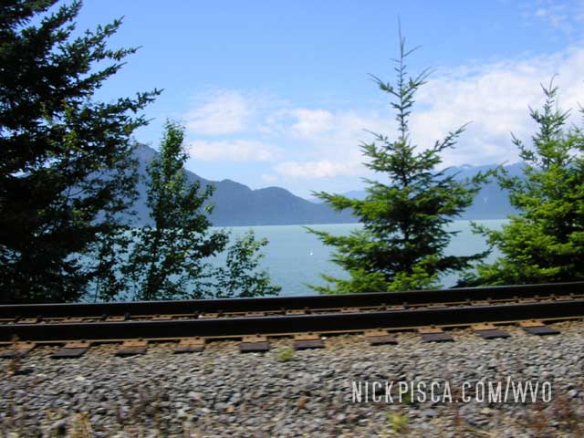
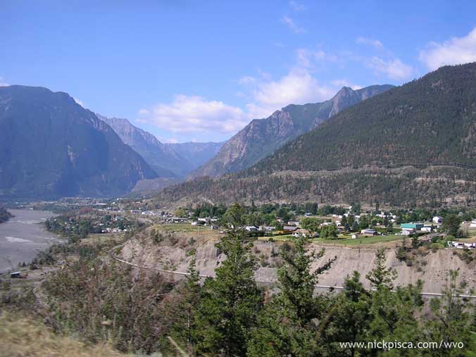
We dropped into Vancouver from a less-traveled route: From the north. Most people come from the US Border or from the THC. But we cruised in from the mountains and the peaks, valleys, and rivers were really spectacular.
Vancouver, British Columbia. 184281 (est). 1:50pm Tuesday.
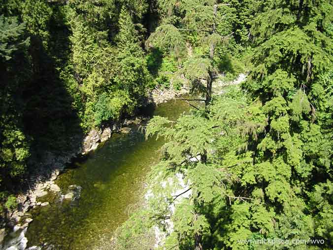
You’d be very surprised that you’d be entering a large metropolitan area when you get within a few miles of this city. There are many trees and it only opens up once you hit the main bridge to get on the island. We stopped off at the Capilano Suspension bridge which was something like 27 dollars to enter. Since we only had a few minutes (we want to be in Seattle by 5pm to hopefully get to Frybrid before store hours end) we convinced the staff to let us in for
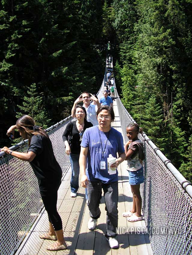
From the bridge. . .
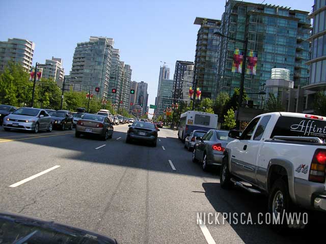
Then we drove into the city to check out the sights.
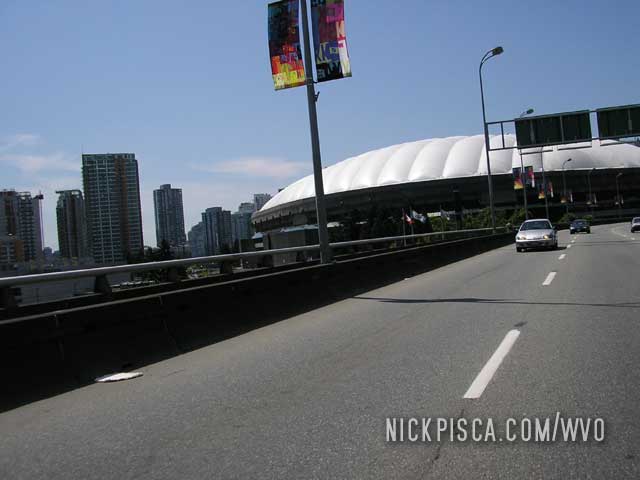
In the heart of downtown.
Heading down to Seattle to see Chris Goodwin and his famous Frybrid alternative fuel shop.
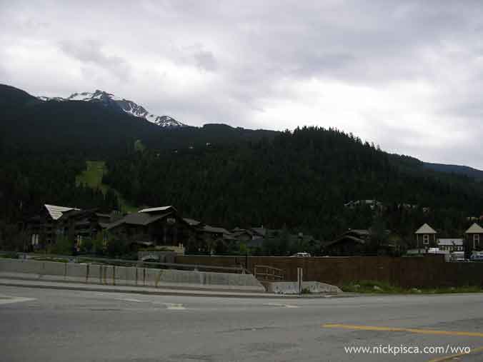
Whistler & nearby wilderness, British Columbia. 184204 (est). Mid-day Tuesday.
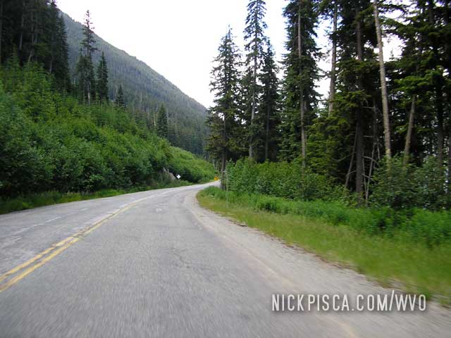
The central BC wilderness is surprisingly desert-like for its latitude. Rather than taking the 4-lane Canadian Interstate 1 to Vancouver, we opted to cruise the smaller Route 99 thru Whistler. Even though we heard reports that the 1 had some construction, I don’t think 99 was shortcut by any means. There were portions that were one lane and even a 4m railroad overpass at 20kph 90-degree turn! And the crazy part was that rigs were one this death trap and speeding.
It turns out I lost my log near the end of the trip. We have a few markers where I don’t have exact mileage, but it should be relatively close.
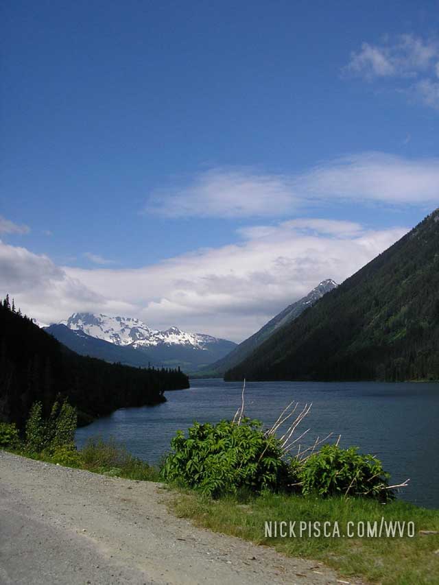
Whistler was at a higher altitude, so the vegetation was a little more lush. However, it was a little disappointing due to the number of a-holes on the road. Plus there was construction from Whistler to the edge of Vancouver, which was very slow.
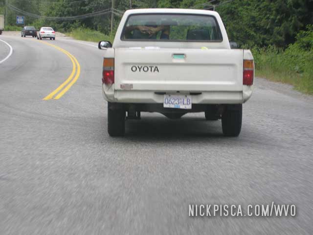
For some comedy, we happened to be following a guy in a white S-10 that could drive the whole mountainous stretch without hands. The only time he pulled his arms from behind his headrest was to shift, and he had some rather close-calls and often ran over the yellow and white road lines.
Downtown Whistler:
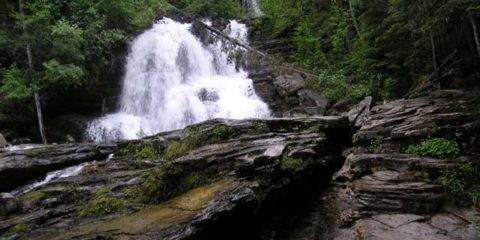
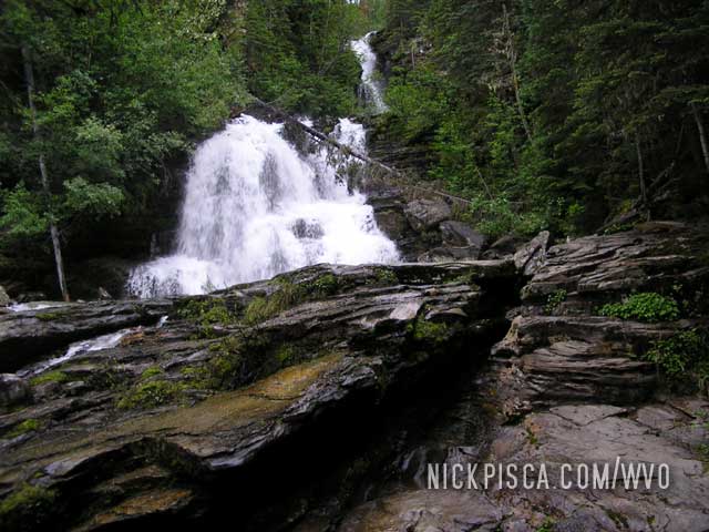
Bijoux Falls, British Columbia. 183732. 8:30pm Monday.
Added 1.75 cubes. I ran the tank dry again and the next stop on Hwy 97 was a small wayside. It just happened to be the Bijoux Falls stop and it had 140-ft waterfall just a hundred yards away. As we filled the tank, you could hear the roar of the rapids.
Williams Lake, British Columbia. 18XXXX. 12:30am Tuesday.
Staying for the night.
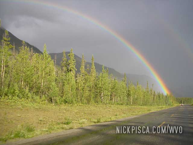
Eventually the rains let up on the Alcan Hwy, and we pressed on to Seattle.
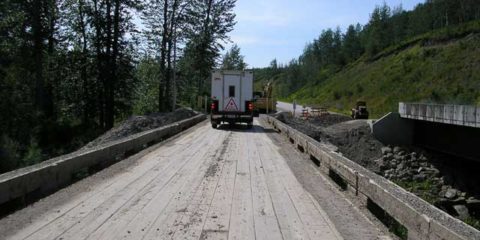
Buckinghorse River, British Columbia. 183417. 3:30 pm Monday.
Added 1.5 cubes.
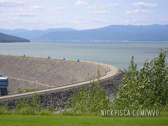
We took a scenic shortcut to avoid Fort St John and Dawson Creek: Hwy 29. It’s pretty nice and the town of Hudson Hope is a great place to stop off to check out the dam and get some food.
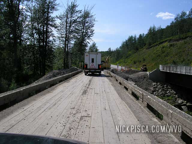
Here’s a pic of the dam…
Whitehorse, Yukon Territory. 182700. Sunday.
Added 1.75 cubes. We got a late start and we took off around 9am. With the hike near Mt. McKinley and the previous 36-hour drives, getting a few extra hours rest sounded good. Also, the Family Motel in Whitehorse let us do a load of laundry even though their facilities were technically closed the previous evening.
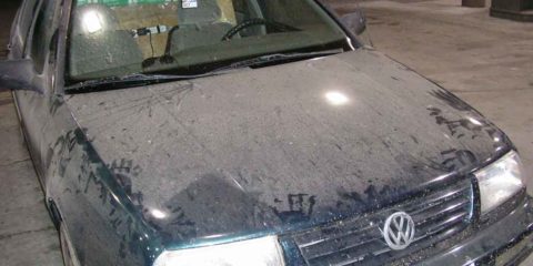
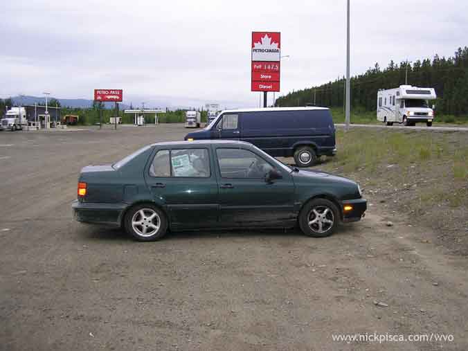
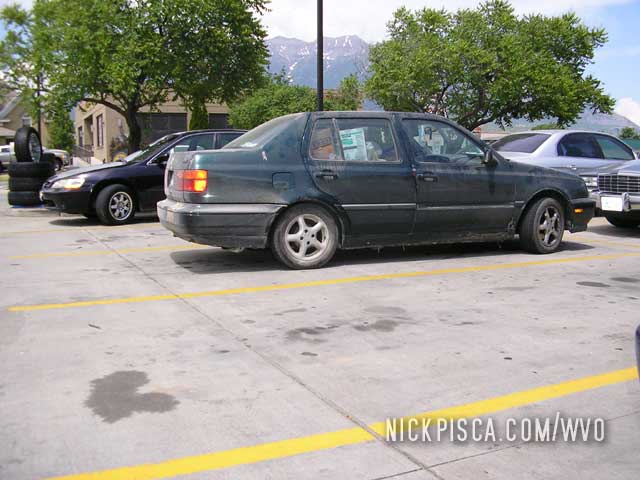
This is a pic of the condition of the Jetta just outside of Whitehorse.
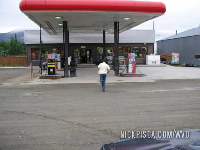
I think the crab we ate in Anchorage was getting to Glenn’s belly. He had to sprint in before we had a volatile explosion.
We got back on the road and weathered the rains again. I took my favorite photo of this WVO trip, and one of my favorites of all the trips:
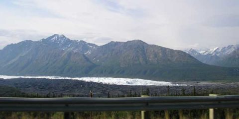
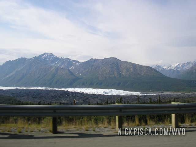
Glennallen, Alaska. 182185. 3pm Saturday.
Added 1 cube. On the way back from Anchorage, we happened to cruise passed this large glacier. The valley was all mud and muck, which appears to indicate that this glacier has receded also. The freeway was quite high up, so we had a good vantage-point.
This southern stretch across Alaska’s interior appears to be a little more developed. The North end is pretty “rough” around the edges, and for anyone without a camper or RV, they should stick to the south. Alaska appears to be a place where you have to bring your “house” with you.
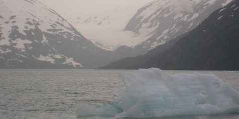
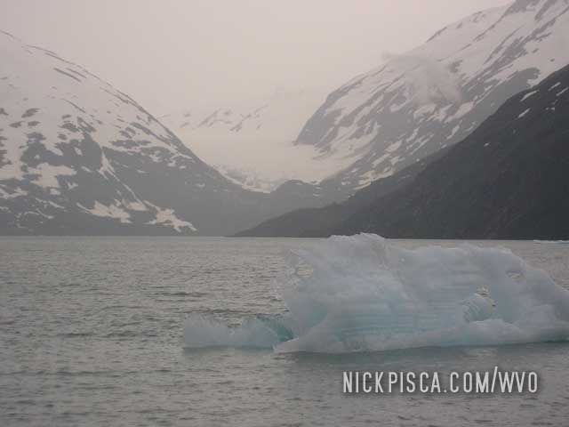
We stayed the night in Anchorage and left early for the Portage Glacier, 47 miles south. It appears to have been melted some, because images of this just a few years ago show it much farther down the mountain. We got close to some of the icebergs, but the glacier was out of reach.
A photo of what remained of Portage Glacier in 2008….
Anchorage, Alaska. 181790. 4:45pm Saturday.
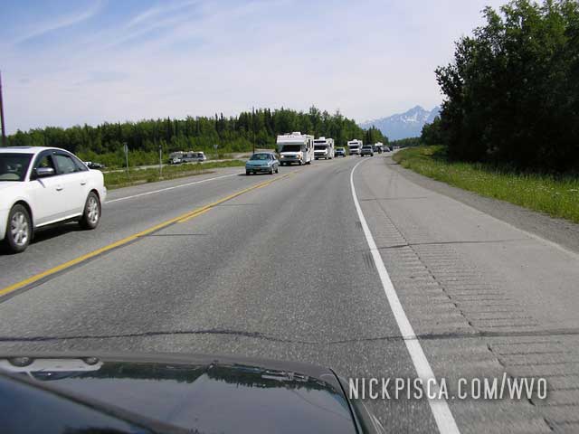
Added 1.25 cubes. We strolled into Anchorage mid-afternoon, but strangely it appeared that everyone was driving north. Traffic was backed up for miles.
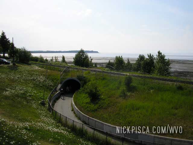
When we arrived into downtown, it was pretty empty. We found only a few restaurants open the fourth, and one nice restaurant (the Orso) served up some great King Crab and Salmon. There really isn’t much of a beach there, but we still went to check it out.
It happened to be the Fourth of July. We assumed there would be a big city-wide Independence Day celebration, and several tourists (like ourselves) were wandering the oceanfront area looking for any indication of a fireworks display. Then it dawned on us, there probably isn’t a fireworks show this far north. It would be 1am before it could even be remotely dark enough to enjoy fireworks, and even then, it would be kind of defeating the purpose.
We stayed the night in Anchorage and left early for the Portage Glacier, 47 miles south. It appears to have been melted some, because images of this just a few years ago show it much farther down the mountain. We got close to some of the icebergs, but the glacier was out of reach.
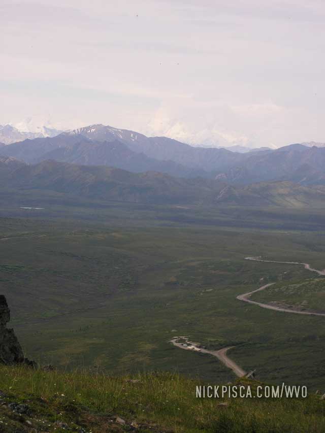
Denali National Park, Alaska. 181642. 11:30 am Friday.
Added .75 cubes. We wanted to spend a few hours at Denali to see the highest point in North America, Mount McKinley. We went to the Visitor’s Center and I asked if my 2008 parks pass would be accepted at the gate. They said it would work and that I wouldn’t need to purchase a “Private Vehicle” Pass. After a fifteen mile drive into the park, we get stopped a gate by a ranger. He said this is the farthest we could get into the park! Why would anyone pay $20 to drive only a fraction of the whole park? They stated that we would have to pay for a 6-hour bus ride to get closer to Mt. McKinley, or we could hike in.
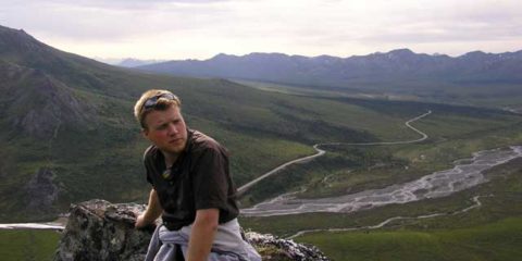
We parked the ride and climbed the nearest moderate peak. Here is the path we took up the 5900-ft vertical.
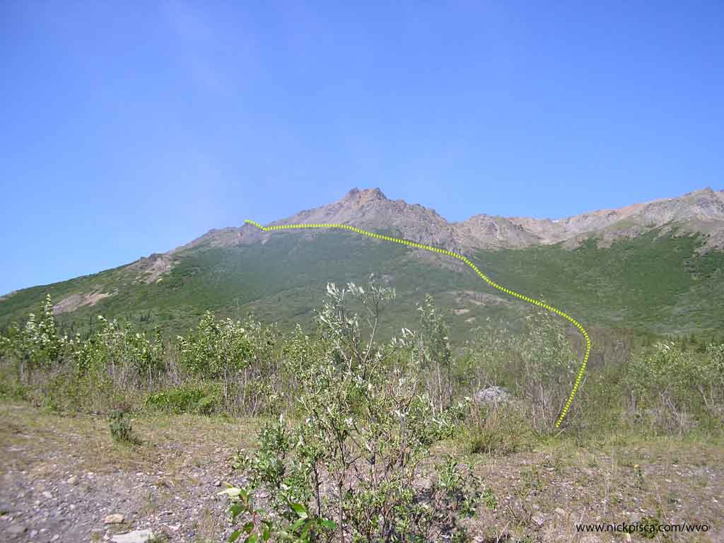
We made short work of the summit. While hiking the ridge, we saw a massive grizzly in about 100 yards to the south. It looked like a Volkswagen with fur. I’ll never forget how the fir shimmered and tussled as he walked. We brought our bear spray, but I doubt that massive bear would have been affected.
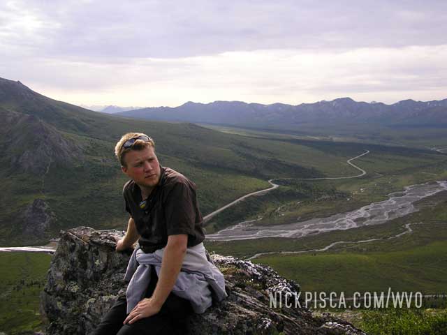
Here is a picture of the mountain from our elevated vantage point.
Time was running out. We had to get back on the road quick to make it to Anchorage.
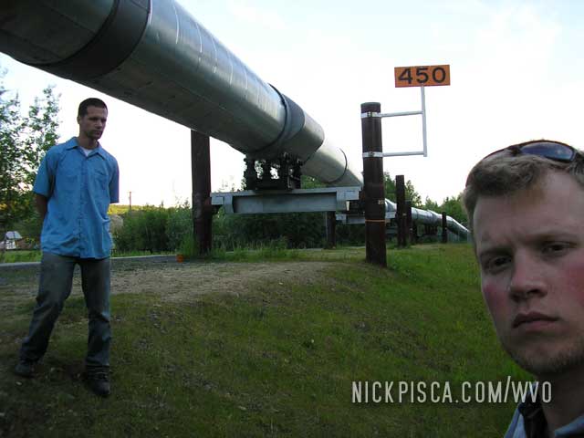
Fairbanks, Alaska. 181492. 6:30 am Friday. (The northmost latitude driven on the 2008 WVO Roadtrip)
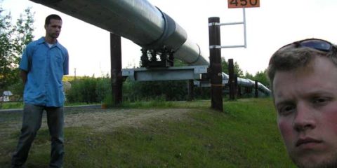
Added 0.75 cubes. After Tok and Delta Junction were booked up, we decided to push through and see some of our sites. We stopped off at the pipeline north of the city. This is the furthest north we traveled on the 2008 WVO Roadtrip, and it’s under 200 miles from the arctic circle.
Entering Alaska. 10:30pm Thursday.
Traveling from Haines Junction to the border is more difficult than it seems. The road is segmented with quarter-mile portions of potted gravel and sections of heaved pavement. You average about 35 mph with a lot of stopping and starting. We were planning to make it to Delta Junction, but then we thought Tok, Alaska would be best. At our current pace, we wouldn’t make it there until 1am.
Haines Junction, Yukon Territory. 180990. 7:45pm Thursday.
Added 1.25 cubes. We are finally getting a steady radio station. It’s sort of like a NPR station, and maybe 15% static, but 100% better than nothing. We probably drove a 1000 kms with no radio, and a suggestion to future Alaskan Highway travelers: Bring an Ipod or CD player. There are no AM or FM (or short wave) radio for the 95% of the distance. I brought my laptop for the trip, but I don’t have many mp3’s; you can only listen to the same twenty songs so many times before it gets boring.
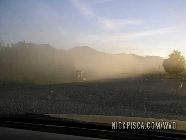
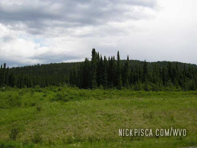
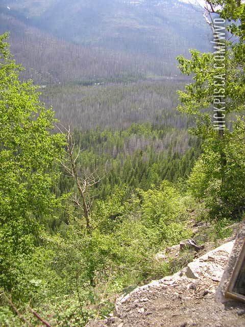
Random image…
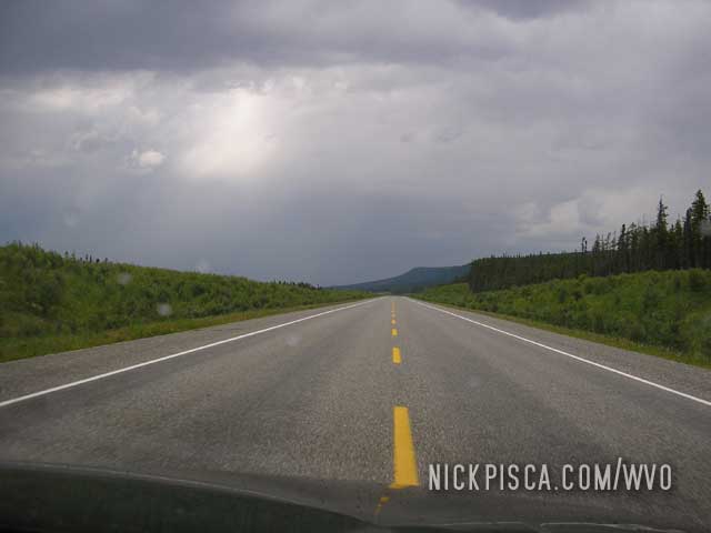
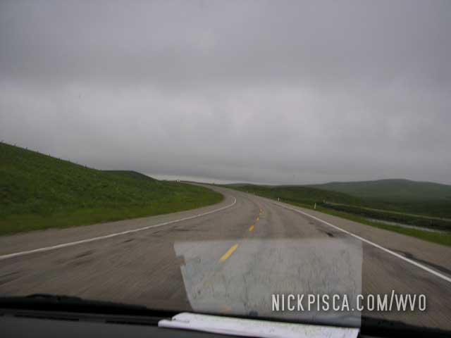
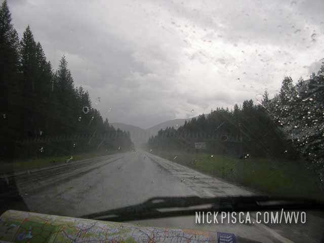
South of Fort Nelson, British Columbia. Wednesday.
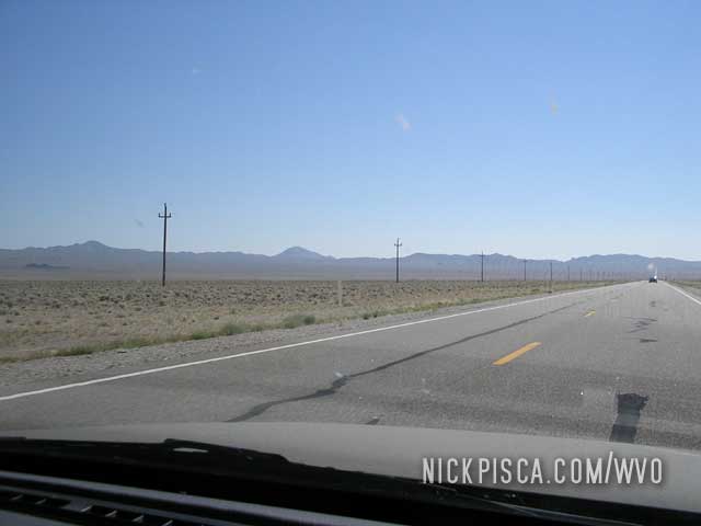
We decided to crash out in Fort Nelson even though we could have probably made it to Watson Lake that night. This is what a typical mile on the Alaska Highway looks like, and there is not a lot of services or turn-outs on the path.
Just shy of Fort Nelson we ran into a HAIL storm (what next? ). The storm was looming in the distance.
We parked in some old army-camp turn-out that was on the side of the road. There was nothing there other than an overgrown gravel lot, with no canopy to drive under. We thought quick. We had to use up some cubie boxes to protect the windshields, and we waited out the hail storm. Thankfully, it didn’t damage the car.
After the hail stopped, Glenn ran in the rain to the side of the road to see if northbound was clear of hail. It seemed ok. In hindsight, Glenn should have brought some bear-spray with him, because we stormed into the abandoned campsite which could have housed all sorts of bears, moose, or bison.
Here is a pic of the hail in the ditch as we tried to get out of the storm.
Onward to Fort Nelson.
Between Grand Prairie and Dawson Creek. 179765. Around 8am Wednesday.
Added 1.75 cubes.
Overfilled the tank. Luckily I caught this very early so we only spilled a few onces.
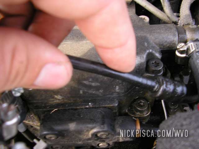
Nineteen miles south of Dawson Creek, 10:30am Wednesday
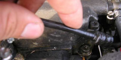
We stopped off at a lone gas station to grab some beverages, and I decided to inspect the hoses and engine compartment. Turns out our diesel return line looked a little worn and had some seepage. We spent 30 minutes replacing the line with some 3/8” fuel hose that I had stashed for just such an emergency.
Then in only a few miles, we were officially on the Alaska Highway for the first time!
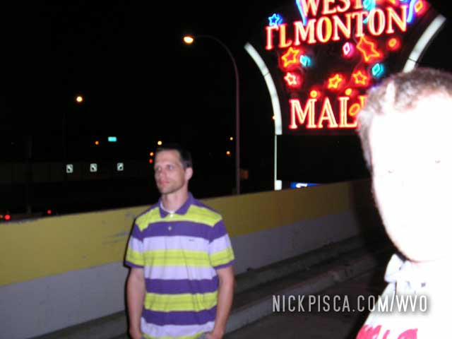
Edmonton, Alberta.
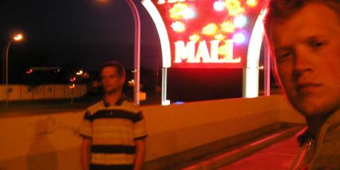
One of Glenn’s few requests for this trip was to visit the world’s largest mall. We arrived rather late in the evening, so all we could do is wander around the empty building. It turned out to be a little dumpy and lacking any uniqueness. Also dirty. We’re a little behind schedule so we pushed on toward the Alaskan Hwy.
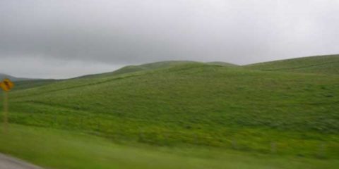
We crossed the border just as the storms started to subside. There is an interesting farmland/grazing land in this area. Kind of like something out of the Teletubbies.
Calgary, Alberta. 11:45pm Tuesday, Canada Day.
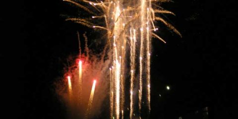
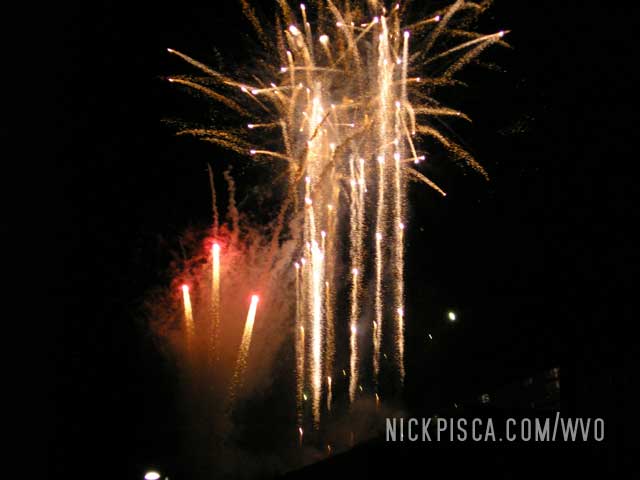
We lucked out and arrived in downtown Calgary just at sunset. We are starting to notice the latitude difference, because it doesn’t get dark here until after 11pm. As we approached downtown, we parked just as the fireworks show began.
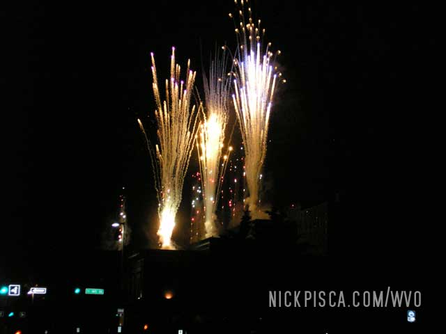
It was a little crazy, because they were shooting them off of the top of a downtown building, and I’ve always seen them ignited near a water source.
West of Calgary, Alberta. 179502. 12:35am Wednesday.
Added 1 cube.
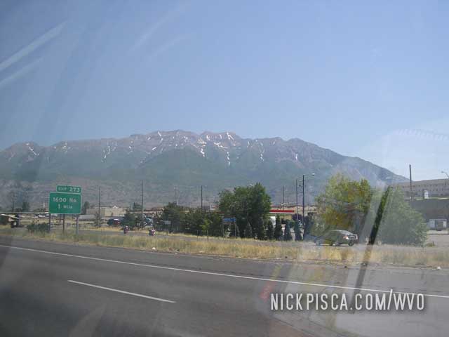
After we left Montana, there were some cool looking mountains on the horizon. We pulled over to top off the grease, and snapped some photos of the alien landscape.
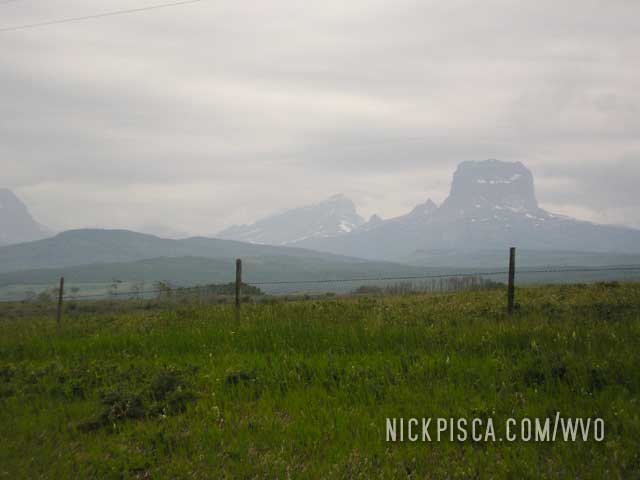
Then in southern Alberta, the environment completely changed. It was plush and green and super hilly. It was like an episode of the Teletubbies.
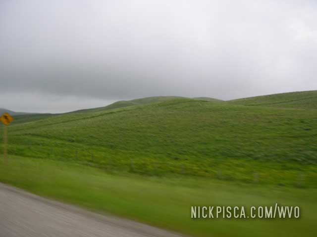
Eventually, the sun started to set, but the odd thing was, it was it was near 10:00pm. And it was still light out. We clearly were getting further north on this trip.
Crossing the Montana (U.S.) – Canada Border. 8:30pm Tuesday.
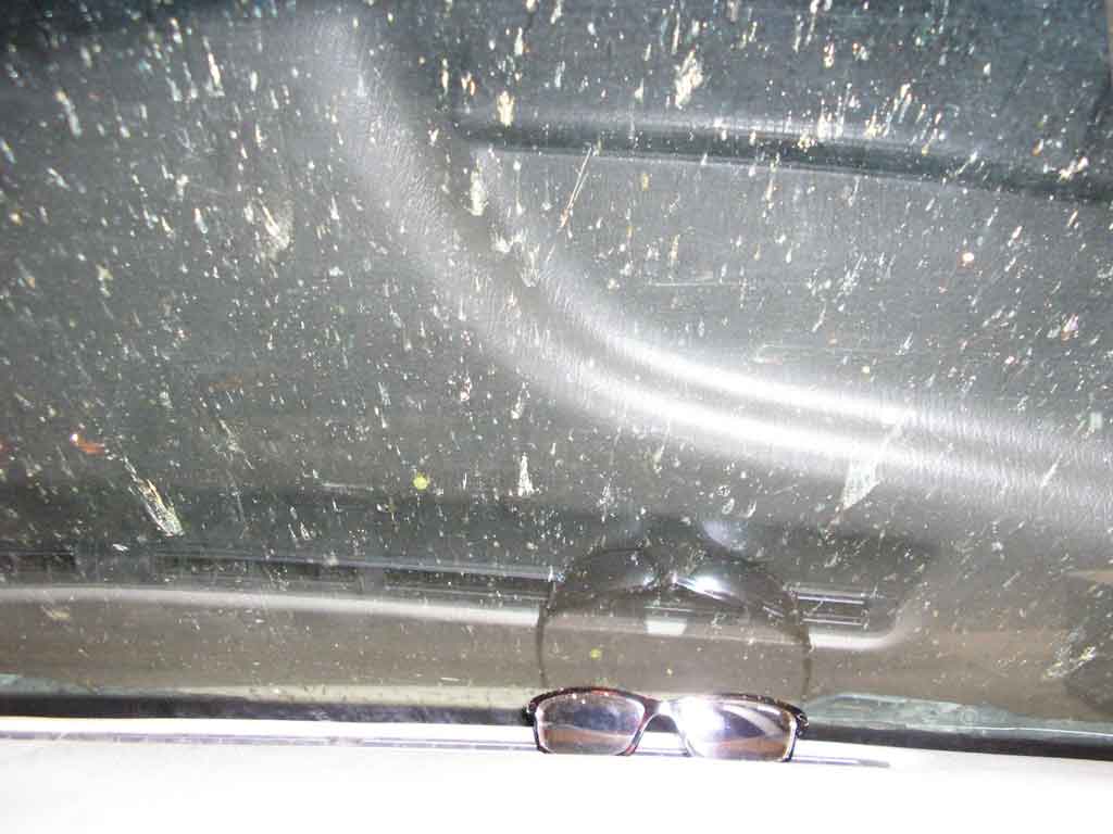
We drove up to the Canadian border about two hours before this particular station closes for the night. The trip up MT-49 and MT-89 was wild. There were all sorts of odd mountainous formations on the horizon.
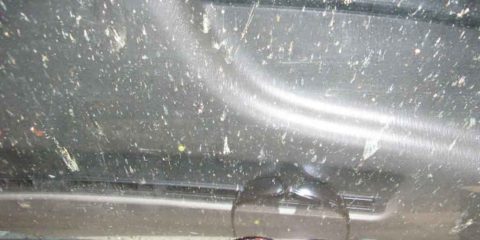
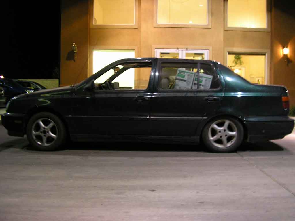
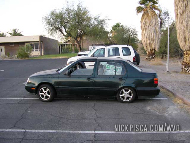
The border agent reviewed our passports and asked the typical questions. Then he said, “Alright, everything looks good. May I ask…What did you do to your car?” He wasn’t asking about the VO system, but rather it condition was pretty unpleasant. And the funny thing, it looked much worse just hours before this—this image is the condition of the Jetta prior to the rain. 🙂
The agent asked Glenn, “What deserts did you drive through?”
Glenn thought for a moment, and replied, “All of them… I think.”
West Glacier, Glacier National Park. 179204. 5pm Tuesday.
Added 1 cube.
We approached the park and a ranger stated that only 30 miles of the road was completed. He said that we could drive in (but not thru) the park. We cruised the main path for a while and headed back to the entrance, adding another 150 miles to the trip. 🙁
The national park is really spectacular. Due to its remoteness and northern location, it’s not a highly-trafficked park. They had snowcapped mountains everywhere, even in the heat of summer.
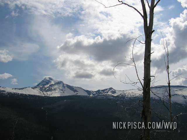
The roadways take you high up in elevation, so you can oversee the vast valleys.
Waterfalls and tunnels carve through the massive ridges.
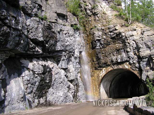
Due to the construction, we had to circumnavigate the entire national park to the south. While this truly was a pain (we wanted to get to Calgary to celebrate Canada Day), the sights on this path through mountainous Montana were still exceptional.
Missoula, Montana. 6:45am Tuesday.
We met up with Norman of Missoula who has been running a converted Benz for a couple years. We chatted about the trip and he advised us on the best way to Glacier National Park. It turns out that there was a decent snow in June, and Norman stated that the main road thru the park could be closed.
Then he showed us his filtration setup and offered four cubes for the drive up north. This was great, because this should allow us to make it to Whitehorse.
Dillon, Montana. 178834. 11:55pm Monday.
Added one cube. Scraped off probably 25 lbs of bugs.
Mile 179002
Added 1 cube.
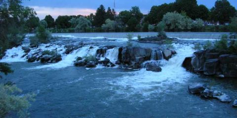
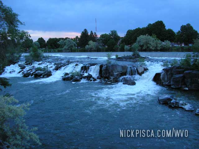
Idaho Falls, Idaho. 178692. 8:30pm Monday.
Added one cube. We stopped off for a sandwich, but the restaurant just closed. Across the street was this falls.
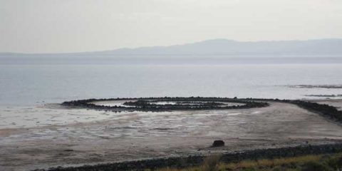
Spiral Jetty, Utah 178265. 7pm Sun.
Access road is 19 miles of off-road delight. Thank god we left most of the other cubes in the hotel, otherwise this road was impassable.
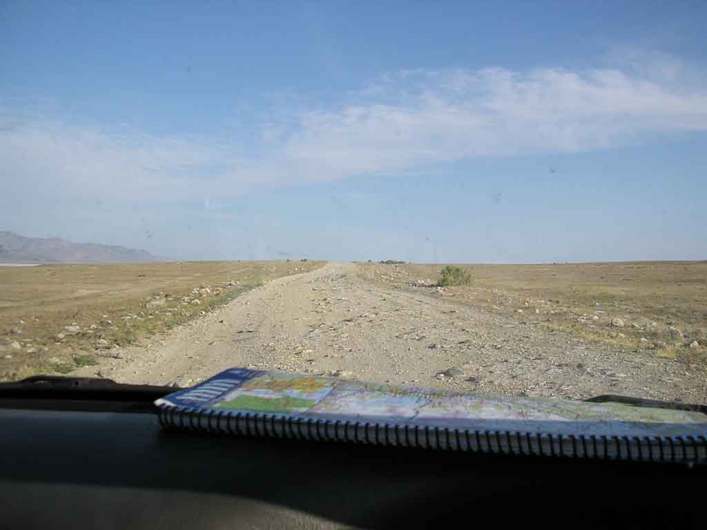
After a long trek into the Utah desert, we finally got to the Jetty before sunset. It took a lot longer than expected.
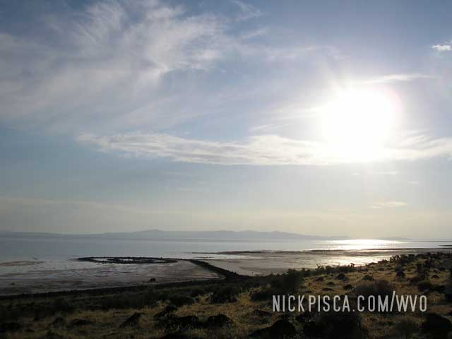
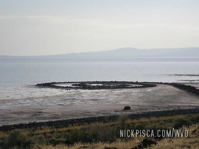
Needless to say, I was thrilled to see the spectacular piece of artwork. And we were really fortunate to see the Jetta while there was water surrounding the installation, because due to droughts and high water levels, it was either submerged or salted for decades.
Glenn on the other hand thought it was the biggest waste of time. In fact to this day, he still hates this trip. Just bring it up. He’ll get furious.
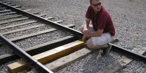
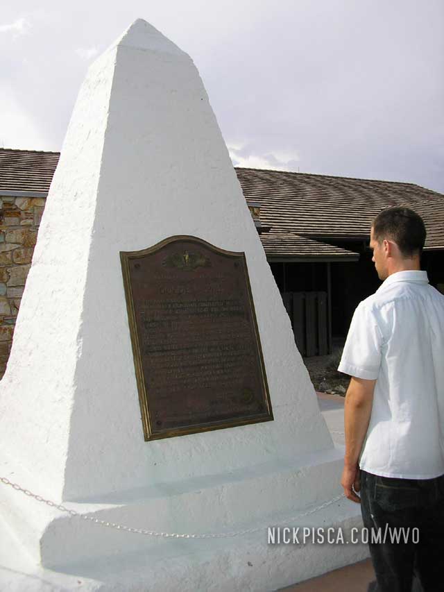
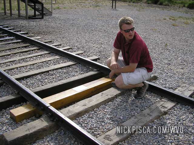
Golden Spike National Monument, Utah. 178248.
Snagged a few pics in front of the monument.
Outside Golden Spike National Monument, Utah. 178289. 9:35pm
Fuse on First Selector Valve blown.
Fuse blew again 50-some miles later. We pulled off to inspect wires and try to find some wear, but couldn’t find any. We think that the coil on the Hydraforce valve has a short, but don’t really have any evidence for or against this.
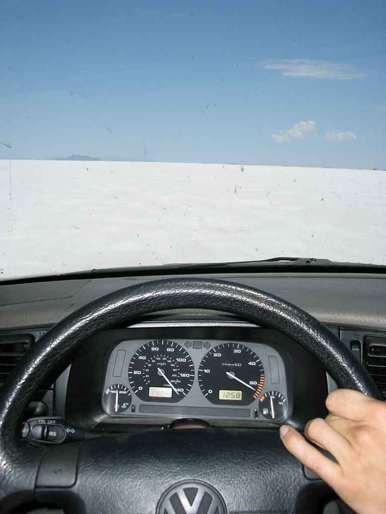
Bonneville Salt Flats, Utah. 178058. 2-2:30pm Sun.
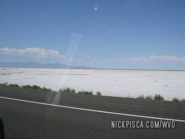
Since we couldn’t find a suspension shop open on Sundays, we set up an appointment with a shop on Monday. In the meantime, we unloaded the Jetta at our hotel and stowed our 16 cubes of veggie oil in the hotel room. That freed up the weight to let us spend a day in the area of SLC and do some sightseeing. We thought it might be nice to test out the raw WVO horsepower on the infamous Bonneville Salt Flats.
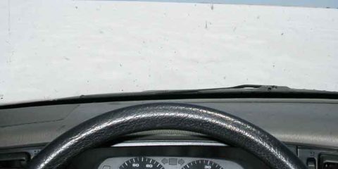
We were able to break the land speed record for a VO-powered vehicle on the Salt Flats. They clocked us at 164 on the ten-mile straight-away, but our speedo only goes up to 140 (see image). We had to lay off because the valves were floating, but it was still a crazy ride. 
West Wendover, Nevada. 178063. 2:52pm Sun.
Added 1.75 cubes.
Mile 177775. Gunnison Massacre Site.
Added two cubes.
Stayed in Provo, Utah for the night. We are thinking of staying in Salt Lake City.
It appears that we have two options
1.) Try to have some stiffer struts installed. We’ve reviewed some TDIForum threads and it appears that Bilstein TC’s are the ticket.
2.) Or, if it’s that’s little pricey, we can pull my undermount tank and put it in the trunk. Even though the car sits low, it’s got a couple inches of travel.
More soon… We may be in Salt Lake for a couple days or we’ll be on the road later tonight.
June 29, 2008 update: We are getting new struts installed Monday morning, so we are hanging out in SLC for Sunday.
June 30, 2008 update: Well, the mechanic used an impact wrench and stripped out the threads on our new struts, while installing them. We are stuck in a public library here in SLC waiting for the mechanic to find another strut. This puts us back a day and if our Montana contributors are reading this, we’ll call you today to discuss our arrival plans.
He got a bunch more images, but I forgot my USB cable in the car, that is now on the hoist. Also, we might be having a Hydroforce selector valve going on us…we burned thru two fuses in the last 120 miles.
Repair Shop, Orem, Utah. Monday, 8am to 2:30pm.
0.5 cubes added.
The shop told us the day before that if we came in on Monday, they’d have our new struts and time to work on the car. We’d been staying in Springville, which is 10 miles south of Orem, but we soon realized upon entry to the Orem State Street that they had a few other mechanics. About every other building was a shop!
Unfortunately, the shop we chose had a guy that stripped out the threads on our new struts with an impact wrench. They claimed that the part had some bad threads, but we could watch the junior mechanic reaming away on the bolts. Since they didn’t have another set of the struts (Monroe Sensatracs, unfortunately—we were looking for Bilsteins), it took an extra 4 hours to find another set and install them. We found a nearby public library and sat on the net for a few hours.
The struts did a lot. It sits about 1.5” higher and it takes a lot more to compress the springs.
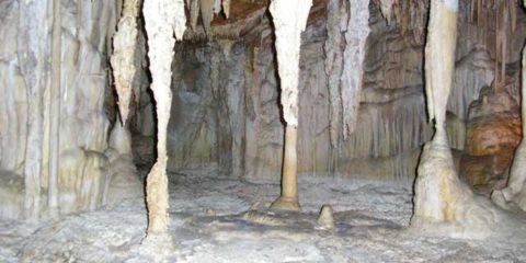
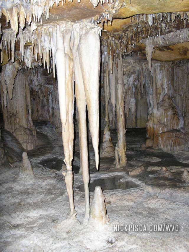
177700 3:00pm sharp Sat.
Big time must-see. This series of caves is full of stalactites and stalagmites. Hopefully if you decide to visit this park, you don’t have a bunch of noisy ditzes on your tour of the cave.
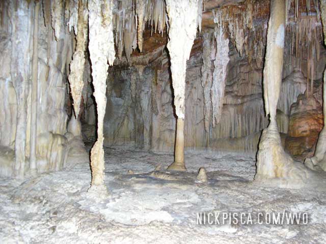
They even had a “shield!”
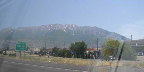
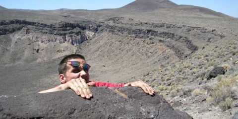
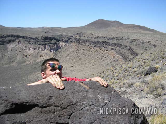
HWY 6-Lunar Crater National Landmark, Nevada . 11am-12:15pm
Visited Lunar Crater and it was 9 miles off the highway. The gravel road was like a washboard and we had to drive an average of 10 mph so as not to risk damaging the car. It seemed like a waste at first, but we managed to arrive at the extinct volcano in one piece.
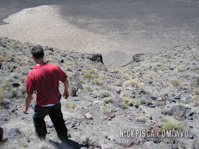
Luckily, it was well worth the terrible 18 mile round-trip drive.
HWY 6, Nevada. 177495, 10:20 am Sat.
We decided to make a detour and avoid Rachel NV. Originally we were to check out the UFO crazies, but then we found some geographical oddities on the map. These places looked more interesting and it shortened our trip to Salt Lake City.
Tonopah, Nevada. 177470, 10:00 am Saturday the 28th.
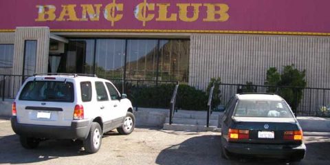
Got pulled over for driving 37 in a 25 speed trap. He gave us a warning and asked us if we were using Diesel Secret. I almost scoffed, but held back the urge to laugh. Ate at the Banc Café and poured in 1.25 cubes
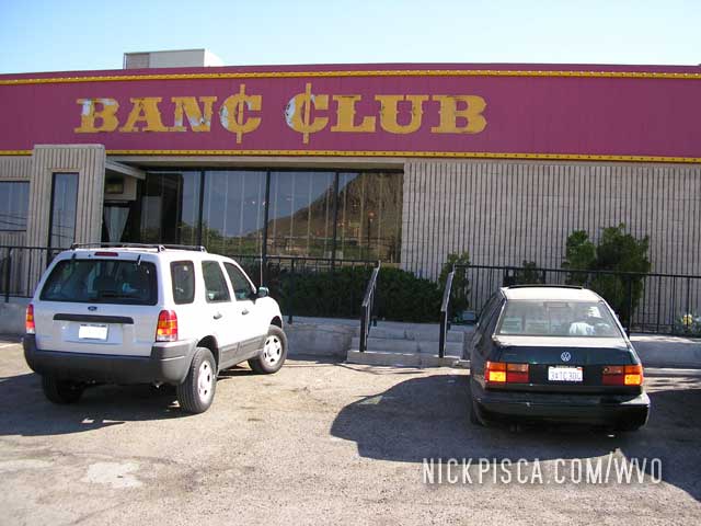
I hadn’t eaten in a restaurant with smokers in a long time. I guess Nevada has some relaxed dining laws.
LA. 177010 miles on the odometer, 1am Saturday the 28th.
Tank full and 17.25 cubes in the car. It squats horribly, with maybe 2” of travel in the rear suspension and 2” clearance to the reflectix at the lowest point.
Death Valley, 177307, Sunrise to 7:30am.
Started experiencing power problems going up very steep inclines. This started after a 10 mile 6.5 degree decline in fourth on VO. From now on, we are running diesel on any major and extended decline, just to debug the power problem.
Stopped in Furnace Creek in the Nat’l Park, checked the suspension (which was even lower) and poured in 1 cube to top off the tank.

2008, 2013, 2018

2008, 2018

2008, 2018

2008, 2018

2008, 2013

2008, 2013

2008, 2013

2008, 2010, 2013, 2021

2008

2008

2008

2008

2008

2008

2008

2008

2008

2008

2008

2008

2008

2008

2008

2008

2008

2008

2008

2008

2008

2008

2008

2008

2008

2008

2008

2008

2008

2008

2008

2008

2008

2008

2008

2008

2008

2008

2008

2008